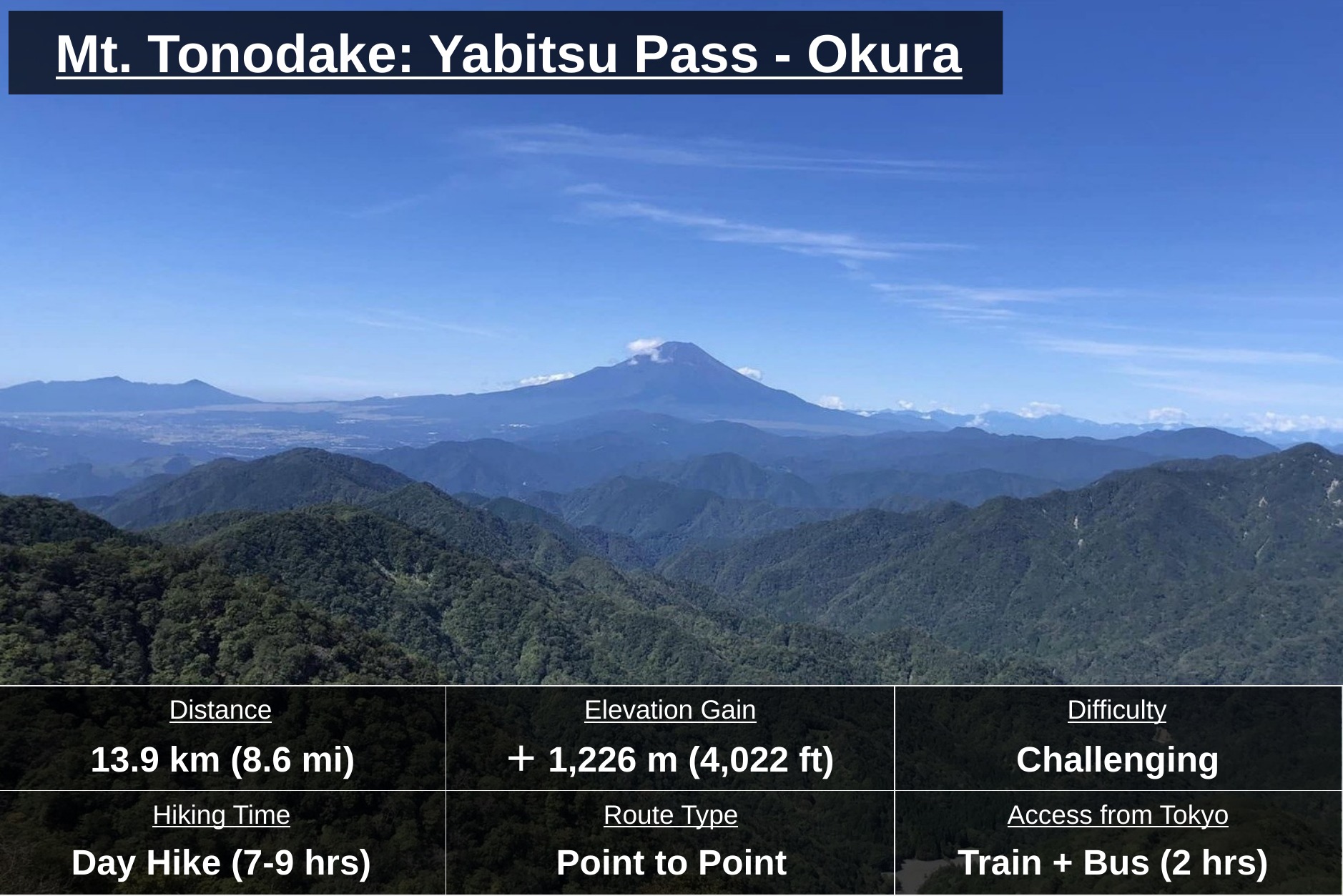
Mt. Tonodake is one of my favorite hikes near Tokyo — I’ve hiked it countless times, and it never gets old. Set in the Tanzawa mountain region, it’s an easy day hike thanks to good access by public transportation, just about two hours from central Tokyo. Along the way you get views of Mt. Fuji, Sagami Bay, and Enoshima, plus a rocky, chain-assisted section that adds a bit of thrill to the hike.
I hiked this route in May 2025. This page was last updated in August 2026.
At a Glance
Distance: 13.9 km (8.6 mi)
Elevation Gain:+1,226m (+4,022ft), -1,703m (-5,587ft)
Average Time: Day Hike (7-9 hrs)
Difficulty: Challenging
Best Season: March-May, October-November
Access: ~2 hrs, Train and Bus from Tokyo
Maps: ⬇ Download GPXFor reference only — conditions may vary by season or trail status.
Highlights
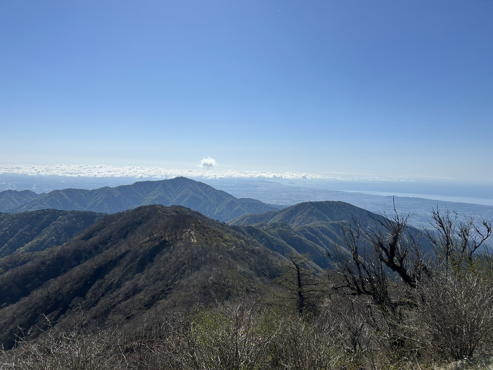
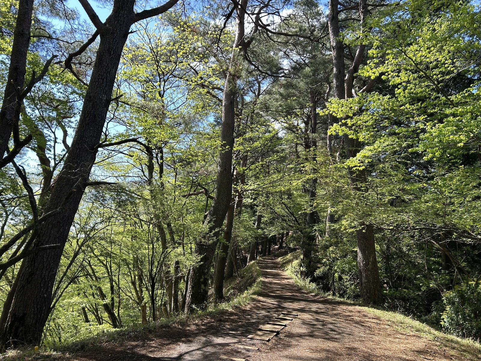
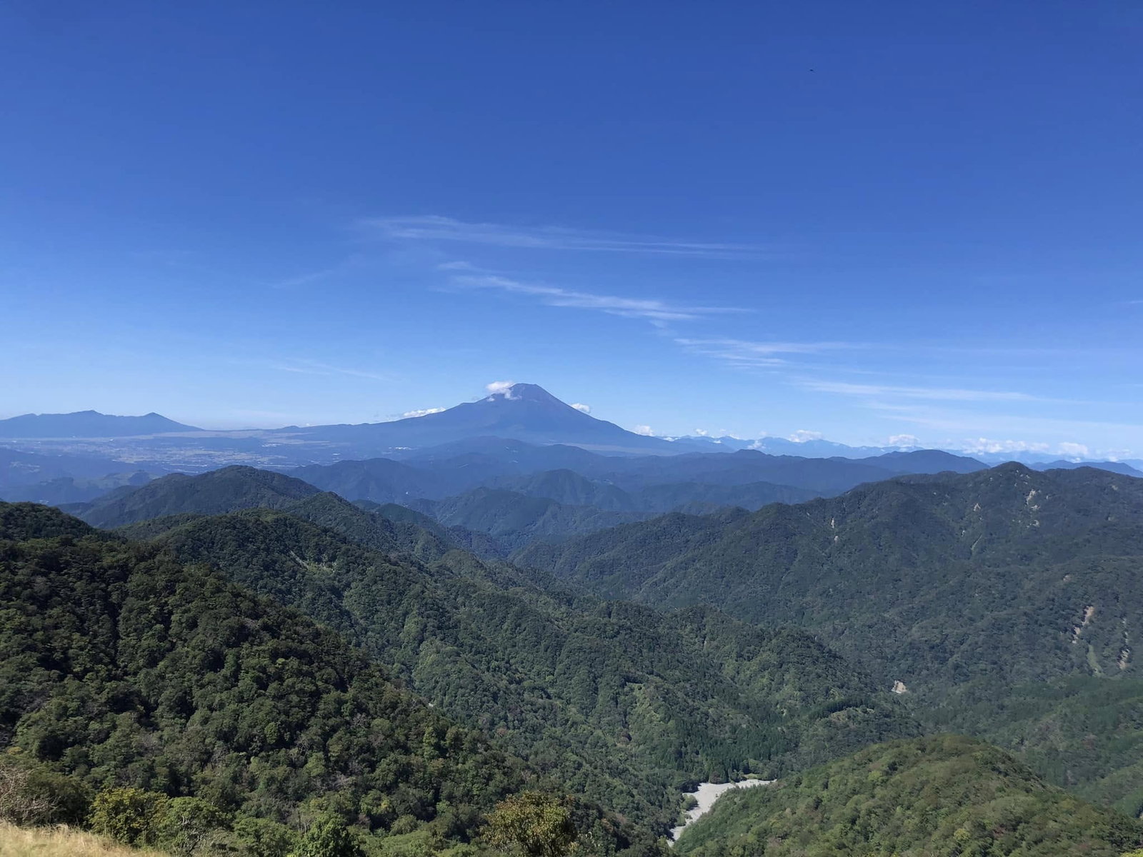
Views: On a clear day, the ascent offers views across Sagami Bay and Enoshima, with the beautifully shaped Mt. Oyama rising right alongside you — I still find myself slowing down to take it in every time (and no, that’s not just me catching my breath). From the summit, you can often see Mt. Fuji, with benches nearby where you can take a break. The descent follows the Okura Ridge, a gentle, shaded path through the trees.
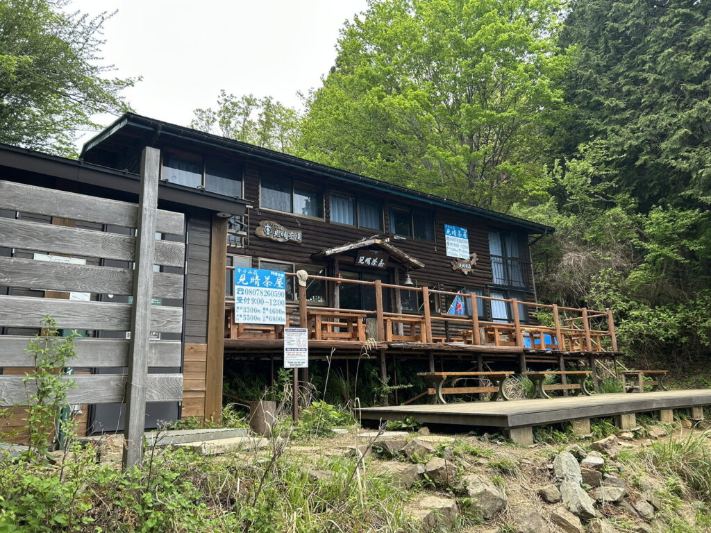
Mountain Huts: Sonbutsu-sanso, right next to the summit, is a good spot to grab a drink or a light snack. On the way down, I always end up stopping at Miharashi-jaya — I can’t resist a break on that bench with its view.
Route Information
Route Overview:
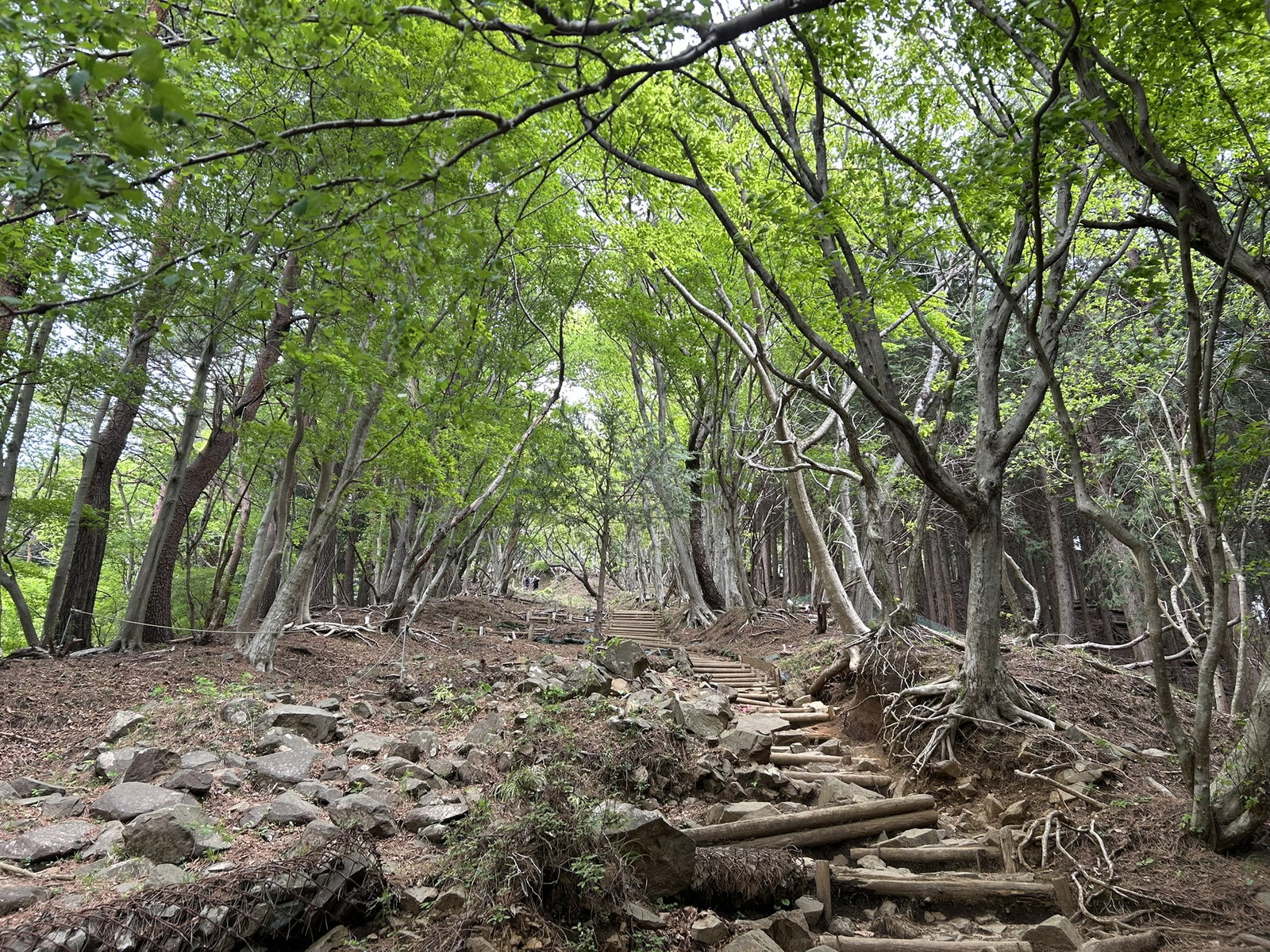
The trail itself is generally well-maintained, with most of the steep sections reinforced with wooden steps. Right at the bus stop, you’ll find a restroom and a bench — a good spot to get ready or do one last gear check before heading out. From there, head down the road toward the trailhead — you’ll actually spot a trailhead sign right near the bus stop, but that one heads up Mt. Oyama, not Tonodake, so don’t get pulled onto it. The real trailhead is a bit further along, down an ordinary stretch of road with nothing hike-like about it, so you might start wondering if you’re actually going the right way. Trust the map and keep going — if you’re still unsure, look for other hikers heading off toward the road and follow them.
These times assume an average pace — your fitness level and trail conditions can shift them quite a bit, so build in some buffer, especially near the last bus.
- Yabitsu Pass (760m) — start
- ↓ ~2h05m (via Ninoto/二ノ塔)
- Ninoto → Sannoto (三ノ塔, 1,205m) — first peak, wide open view
- ↓ ~30min
- Karasuo-yama (烏尾山)
- ↓ 30min
- Gyojagatake (行者岳) — chain section right after, go slow
- ↓ ~40min (via Masajiro-no-kashira/政次郎ノ頭)
- Shindainichi (新大日)
- ↓ ~50min (via Kinomata-goya, Kinomata-Dainichi)
- Tonodake summit (塔ノ岳, 1,491m) — highest point of the hike, with Sonbutsu-sanso hut right here
- ↓ ~40min (via Kaneshigashi, Hanadate-no-atama)
- Hanadate-sanso (花立山荘) — hut, drinks/snacks
- ↓ ~1h15m (via Tenjin-ridge junction, Horiyama-goya)
- Komadome-jaya (駒止茶屋) — hut
- ↓ ~1h40m (via Miharashi-jaya — my favorite stop for tea — and Kannon-jaya)
- Okura (290m) — goal
Total: 8 hours 8 minutes (YAMAP’s official standard course time for this route) — there are chain sections and some steep climbs along the way, so plan with some buffer rather than cutting it close.
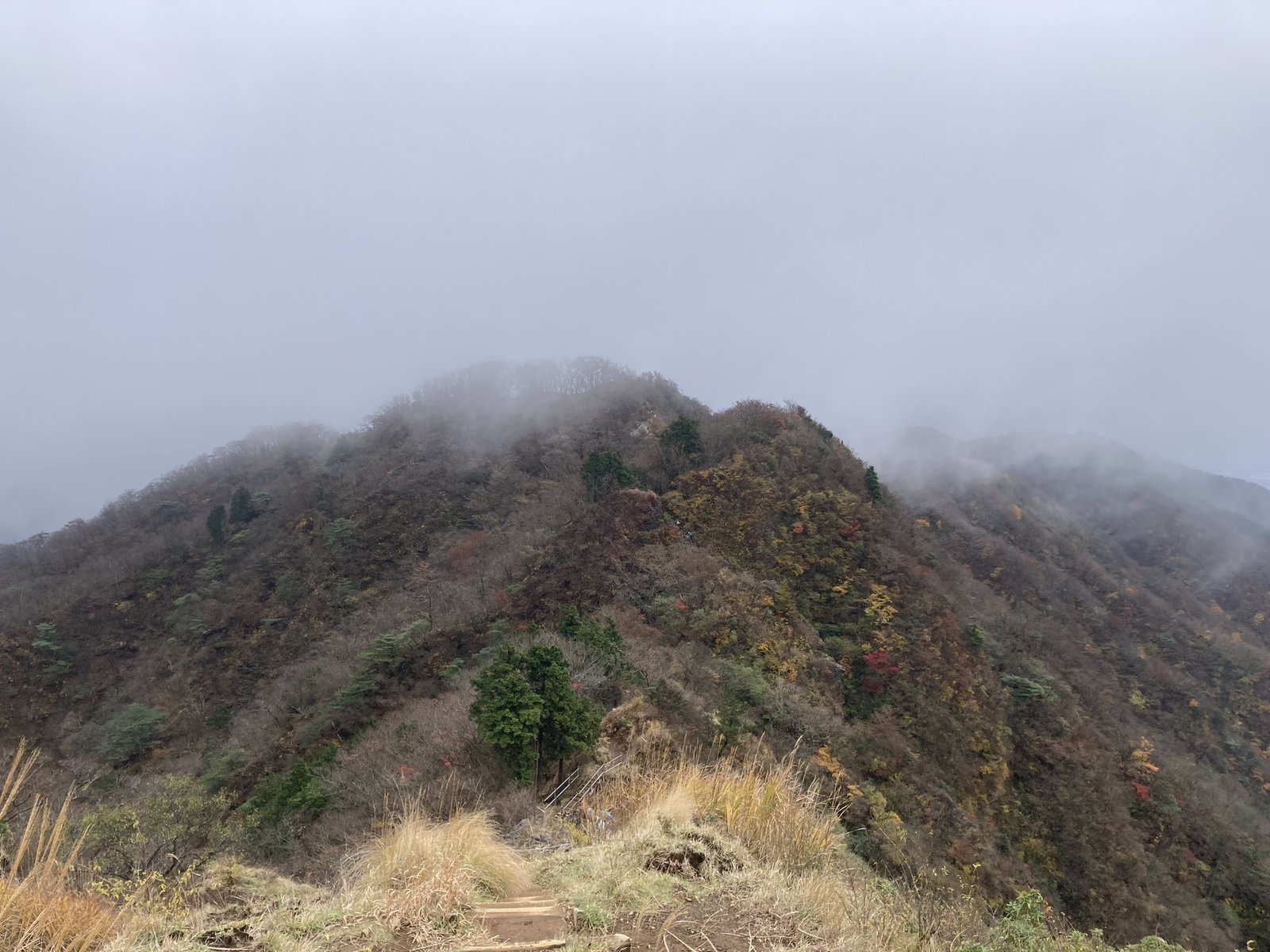
Trail Hazards: ⚠️ Just after Gyojagatake, on the short descent, you’ll encounter a rocky section with chains. Normally, you can pass through fairly easily by maintaining three points of contact and using the chain for support. In rainy conditions, however, the rocks become slippery, so extra care is required.
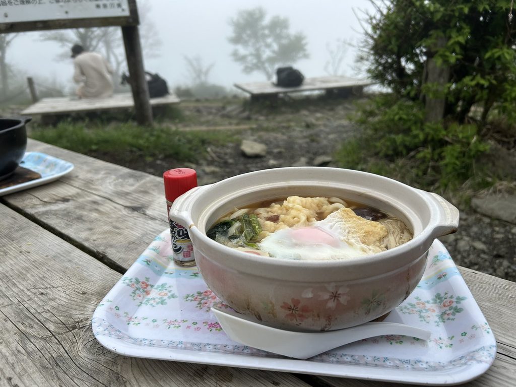
Side Trip: If you’re a strong, fast hiker, I’d recommend swinging by Nabewari-sanso — the side trip branches off from a junction about 20 minutes below Tonodake summit, on the way down. The hut’s famous for its piping-hot nabeyaki udon — though it’s made in limited batches and can sell out early, so getting a bowl is honestly close to a coin flip. Tack on this side trip and you’re looking at about 90 extra minutes of hiking, with roughly 200m (660 ft) of additional up-and-down. You’ll still end up at the same Okura bus stop, but by a different route — this one follows the ridge south of Nabewari-yama and drops through the valley along the Shijuhasse River (四十八瀬川).
Ready to Hike?
Permits & Restrictions:
There is no entrance fee or access restriction as of August 2026.
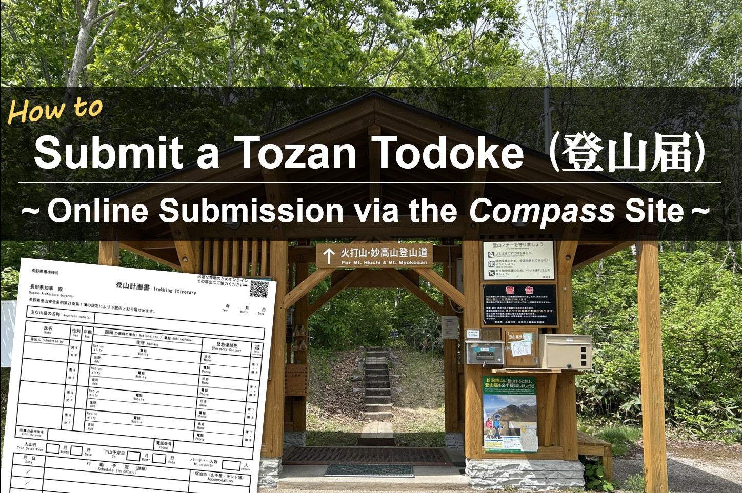
💡 Before you head out, I’d highly recommend submitting a “Tozan Todoke” (登山届, hiking notification), just in case a rescue is ever needed. A paper form and a drop box are usually available near the trailhead, but the forms sometimes run out or aren’t available in English — so online submission via the COMPASS website is the more reliable option. Filling out the form also helps you organize your itinerary, since it gives you an estimated hiking time — a useful bonus beyond the safety benefit.
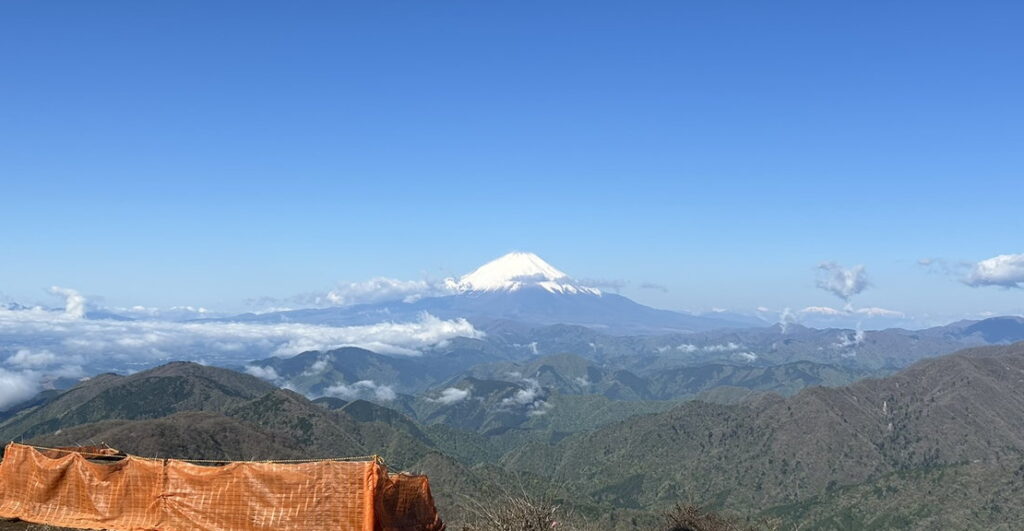
Weather & Conditions: You can hike this mountain year-round. For clear skies and autumn leaves, late autumn is your best bet. If you’re after cherry blossoms and a snow-capped Mt. Fuji, spring is the way to go. That said, a few stretches call for extra caution:
-☔ June-July: Rainy season.
-🌀 August-October: Typhoon season.
-⛄ December-February: Parts of the trail can be snow-covered and icy — chain spikes are recommended in these conditions.
Maps & Navigation: The trail’s well maintained, but routes crisscross this mountain, so it’s easy to get turned around. Cell signal also drops out in spots — bring an offline map and compass just in case.
– Online Map: AllTrails / YAMAP (Japanese hiking app)
– Offline Map: Yama to Kogen Chizu “Tanzawa” (Japanese only)
Transportation: For a point-to-point hike, public transportation (train and bus) is the best option. It takes about 2 hours from central Tokyo to the trailhead.
– Getting to Yabitsu Pass bus stop (trailhead)
From the Tokyo area, take the Odakyu Line from Shinjuku Station to Hadano Station (~65 min, on the rapid express, no transfer). After arriving at Hadano Station, exit from the north side and look for bus stop #4, where the Hada-21 (秦-21) bus departs (~48 min). You’ll easily spot the stop — there’s usually a long line of hikers. The last stop on this line is the start of your hike: Yabitsu Pass.
Example itinerary
・(🚆Odakyu Line) 06:00 Shinjuku Station – 07:08 Hadano Station
・(🚍秦21) 07:20 Hadano Station – 08:08 Yabitsu Pass; Trailhead
Approx. cost: ¥1,320 one-way (¥700 train + ¥620 bus)
– Returning from Okura bus stop
From Okura, take the Shibu-02 (渋02) bus to Shibusawa Station (15-20 min), then the Odakyu Line back to Shinjuku (~70 min). Buses from Okura run frequently — about 3 to 4 per hour — but check the last bus time before you head out.
Example itinerary
・(🚍渋02) 16:10 Okura bus stop – 16:25 Shibusawa Station North
・(🚆Odakyu Line) 16:31 Shibusawa Station – 17:43 Shinjuku Station
Approx. cost: ¥970 one-way (¥270 bus + ¥700 train)
Water & Food: There’s a spring called Fudo-no-mizu (不動の水) near the summit of Mt. Tonodake, but it’s off the main route — getting there means a steep 100m+ drop and climb back up. I’d rather just carry enough water than make that detour.
My Packing List: nothing special — just what I actually carry for this specific hike. This is just my own gear though, so take it as a rough reference rather than a full packing guide.
– Backpack
– Water — 4L or more, depending on the season
– Lunch and trail snacks
– Rain gear — always, since mountain weather can turn fast
– Headlamp — in case you end up running later than planned
– Sunscreen and sunglasses
– Hiking notification (Tozan Todoke) and a printed map — just in case
– Onsen kit — a towel and a change of clothes (see the onsen picks below)
Risks & Safety: Hiking trails everywhere carry the same basic risks: sudden weather changes, dehydration, getting lost, and hiking alone. On top of those, there are a few risks specific to this area worth extra attention:
– Black Bear: Compared to other regions in Japan, the black bear population here is relatively small, but sightings are still reported from time to time. Beyond carrying bear deterrents (bells, spray, etc.), it’s worth checking the local municipality’s website for recent bear activity before you go.
– Leeches: Not life-threatening, but their bite contains an anticoagulant, so it bleeds more than you’d expect. Gaiters, repellent spray, and tucking your pant legs into your socks help keep them off — it’s worth checking your legs during breaks too.
– Extremely hot weather: In July-August the heat and humidity make heatstroke a real risk. Start early, pace yourself, and carry more water than you think you’ll need — there’s no reliable water source along the route.
After the Hike
Onsen (Hot Spring)
Once you’re back in civilization, you’ll probably want to freshen up and grab a bite before heading home. Here are a couple of my favorite stops on the way back to Tokyo.
♨️ Option 1: 名水はだの富士見の湯 (Meisui Hadano Fujimi-no-yu)
If you’ve still got some energy left and the sky is clear, ride the train one stop from Shibusawa Station to Hadano Station. From there, it’s about a 20-minute walk to 名水はだの富士見の湯. It’s a bit of a walk, but the outdoor bath and the restaurant upstairs make it worth the detour, and on a clear day, you can catch one last look at Mt. Fuji at sunset from the bath.
Hours: 10:00–22:00 (last entry 21:30), closed the 2nd Wednesday of the month
Price: ¥800 (weekday) / ¥1,000 (weekend & holiday)
Facilities: Outdoor bath, on-site restaurant
Tattoos: Not permitted
Access: ~20 min walk from Hadano Station
Link: https://www.hadanofujiminoyu.jp/
♨️ Other option: 弘法の里湯 (Kobo-no-Sato-yu)
If you’re wiped out and don’t feel like walking any further, 弘法の里湯 is a more convenient choice. From Hadano Station, continue one more stop to Tsurumaki Onsen Station — about a two- to three-minute walk from the platform to the bath. It has a rustic, mountain-hut-style outdoor bath, and Ichinoya Kakujuan, a soba restaurant with over 140 years of history, is on site if you want a bite to eat.
Hours: 10:00–21:00 (last entry 20:30), closed Mondays
Price: ¥800 (weekday, 2hr) / ¥1,000 (weekday, full day) / ¥1,000 (weekend & holiday, 2hr)
Facilities: Outdoor bath, on-site soba restaurant
Tattoos: Please inquire directly
Access: ~2–3 min walk from Tsurumaki Onsen Station
Link: https://tanzawa-oyama.jp/spot/908/
Information & Disclaimer
I’ve tried to keep this page up to date, but things in the mountains can change. Weather, trail conditions, and access may be different when you visit.
This page is based on my own experience when I hiked the route. Before heading out, check the latest information and make sure the conditions are right for you.