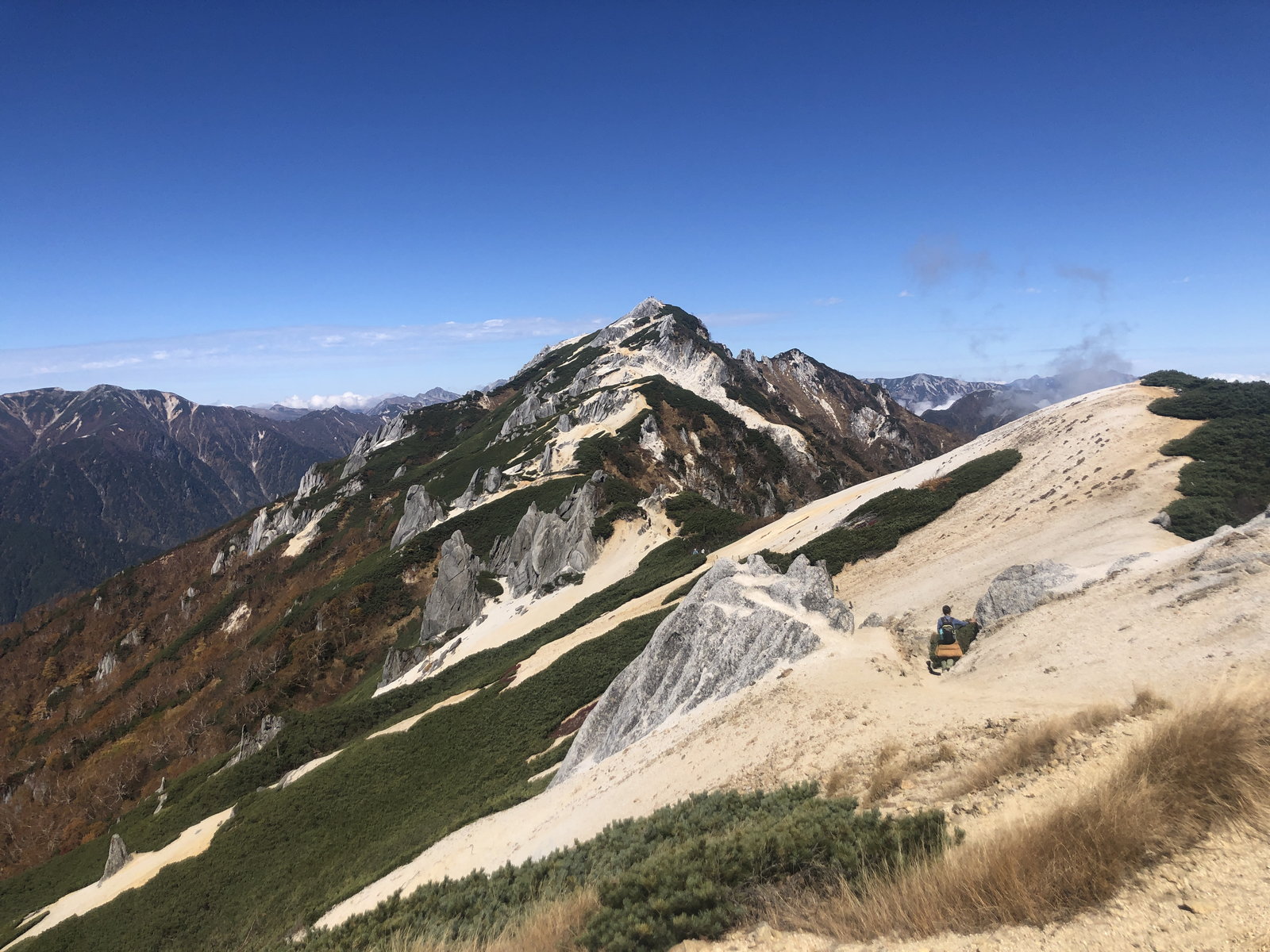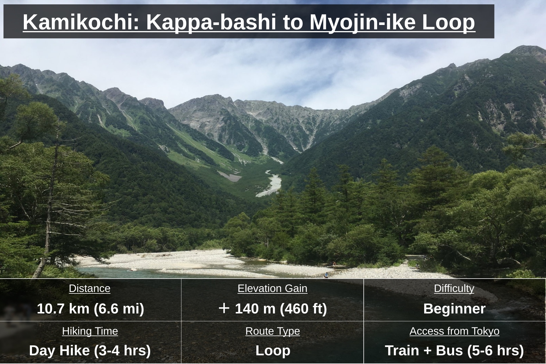
Kamikochi (上高地), tucked deep in Nagano Prefecture, is one of Japan’s premier mountain destinations. It’s the gateway to the Northern Alps, where climbers set out for the high peaks and return to them — and at the same time a valley so well equipped with trekking paths, lodges, and hot springs that anyone can enjoy it, no mountaineering experience or special gear required. Beyond the flat valley floor, the river’s emerald headwaters lead the eye back to the jagged, glacier-carved peaks of the Hotaka range. This time it’s a leisurely half-day loop from the iconic Kappa-bashi to Myojin-ike, where the still water mirrors the mountains — easy enough to plan as a day hike out of Matsumoto.
I most recently hiked this route in August 2025. This page was last updated October 2026.
At a Glance
Distance: 10.7 km (6.6 mi) loop
Elevation Gain: +140m (+460ft), -140m (-460ft)
Average Time: ~3h21m walking, easy grade
Difficulty: Beginner
Best Season: Late Apr–mid Nov*
Access: ~5-6 hrs from Tokyo; Matsumoto overnight recommended
Maps: ⬇ Download GPXFor reference only — conditions may vary by season or trail status.
* Outside this window there’s no shuttle bus service and the road into Kamikochi is closed by snow, so getting here by public transportation becomes very difficult.
Highlights
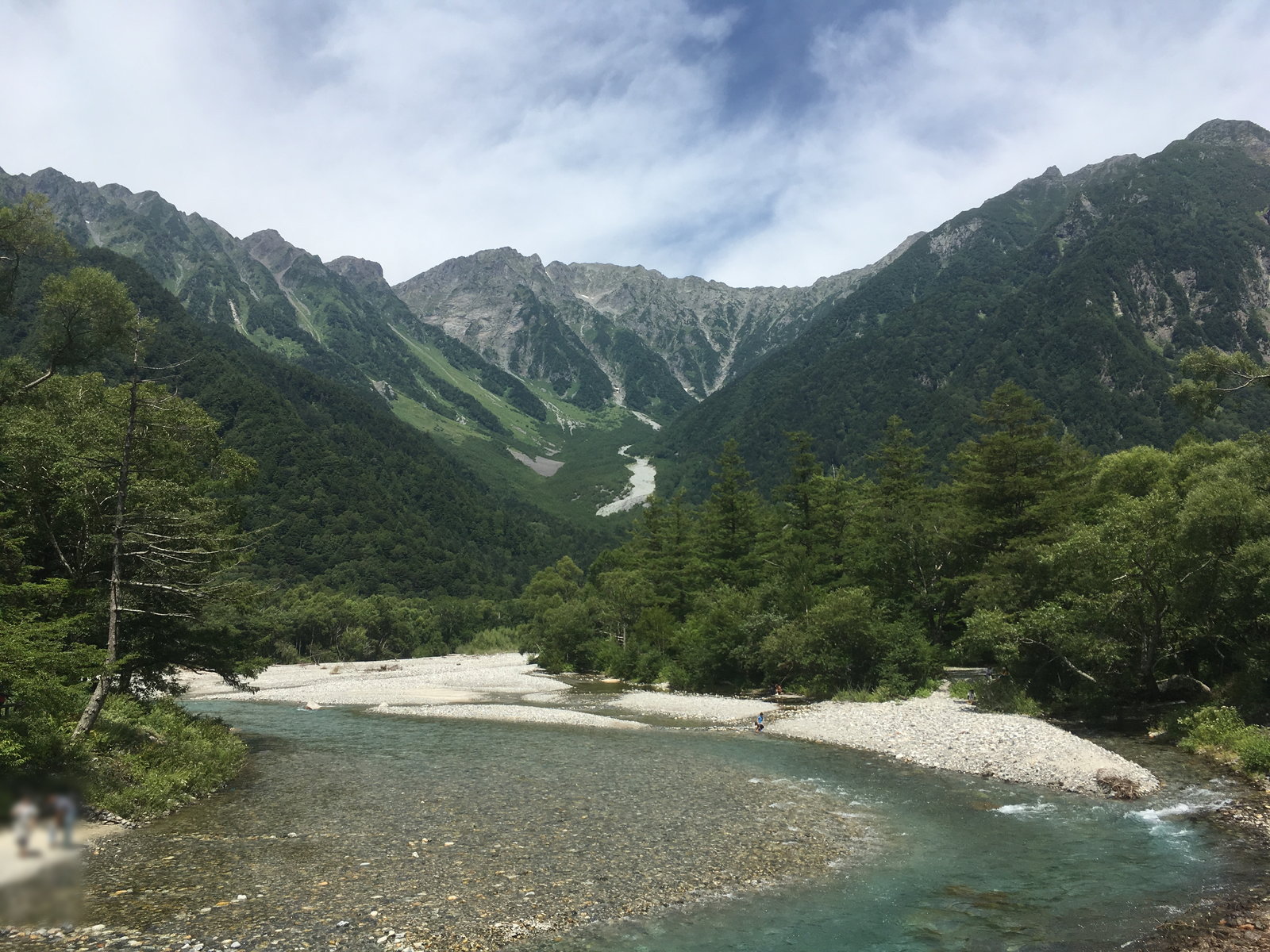
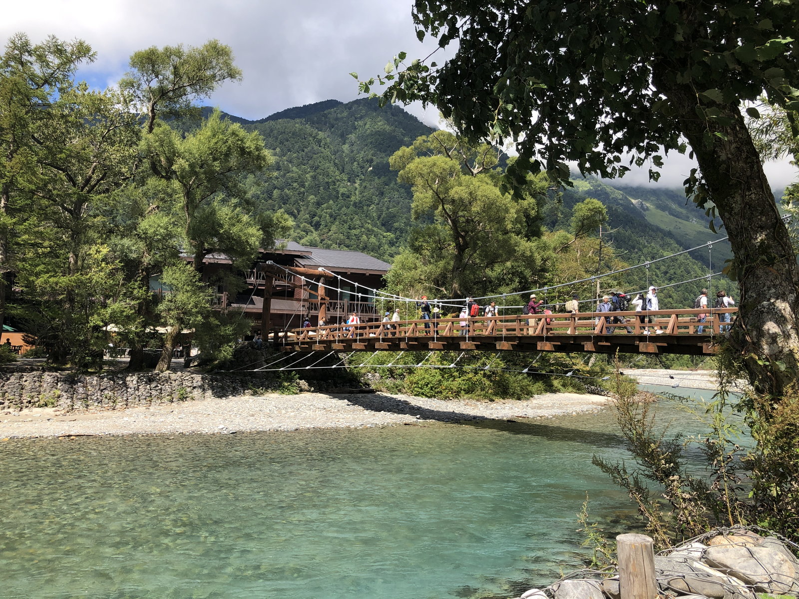
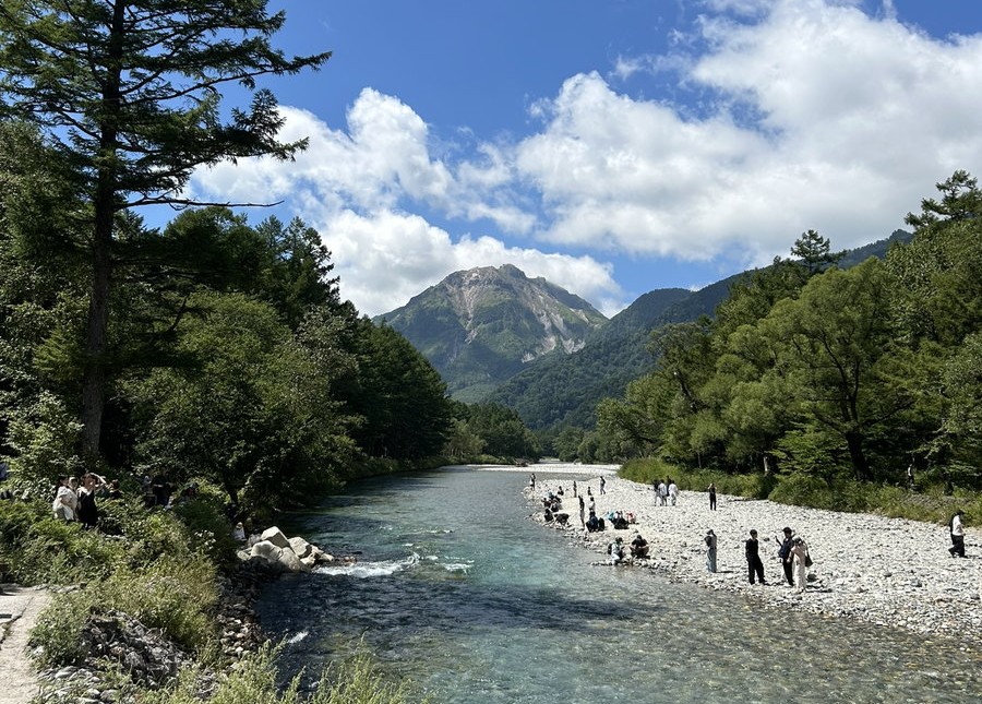
Kappa-bashi: Step off the bus at the terminal, walk just a few minutes, and the valley’s single most famous scene opens up in front of you — a wooden suspension bridge (河童橋) spanning the emerald-green Azusa River, the whole Hotaka range standing up behind it. It’s one of the most iconic sights in Japan’s mountain regions, and in summer it’s worth stepping down to the riverbank — the snowmelt water in the Azusa is colder than you’d expect. Come early if you want the view without a crowd of tour groups in frame.
You might find yourself entirely captivated by Kappa-bashi and the Hotaka range, but look the other way too — across the river stands Yake-dake, a steep, dome-shaped active volcano, and the real reason this valley exists at all. Kamikochi’s flat, oddly level floor — a plain that appears suddenly amid the steep Northern Alps — was built by this very mountain: thousands of years ago its eruptions dammed the Azusa River with volcanic debris, and the sediment that piled up behind that dam became the ground you’re walking on today. Climb it yourself, and you can still feel steam rising from vents near the summit and catch a whiff of sulfur in the air — proof it’s still very much active.
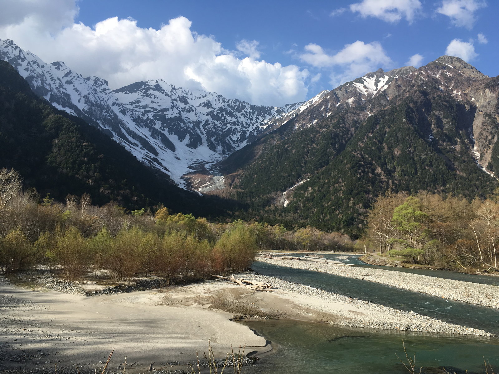
A little further along, the view opens up on Dakesawa, a cirque carved into the Hotaka range by ancient glaciers. In early summer, there’s still plenty of snow on the ground, making a beautiful contrast against the bare rock, and patches can still be spotted into autumn.
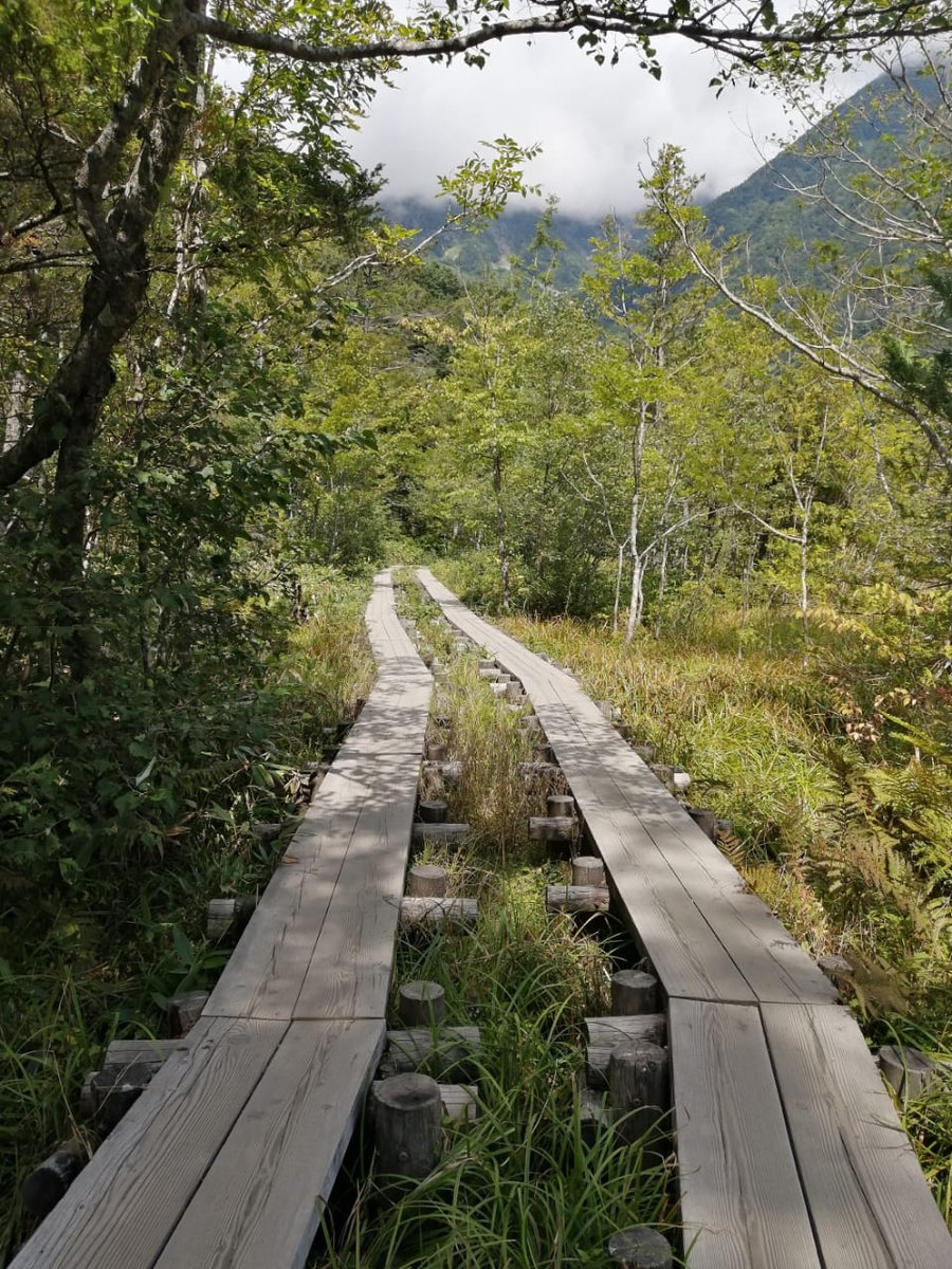
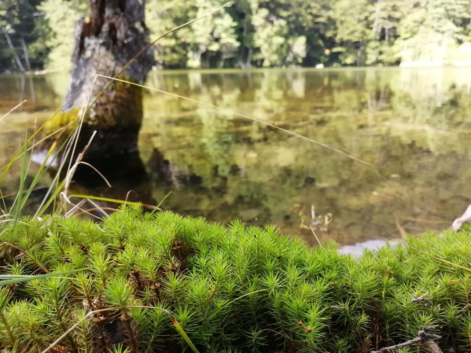
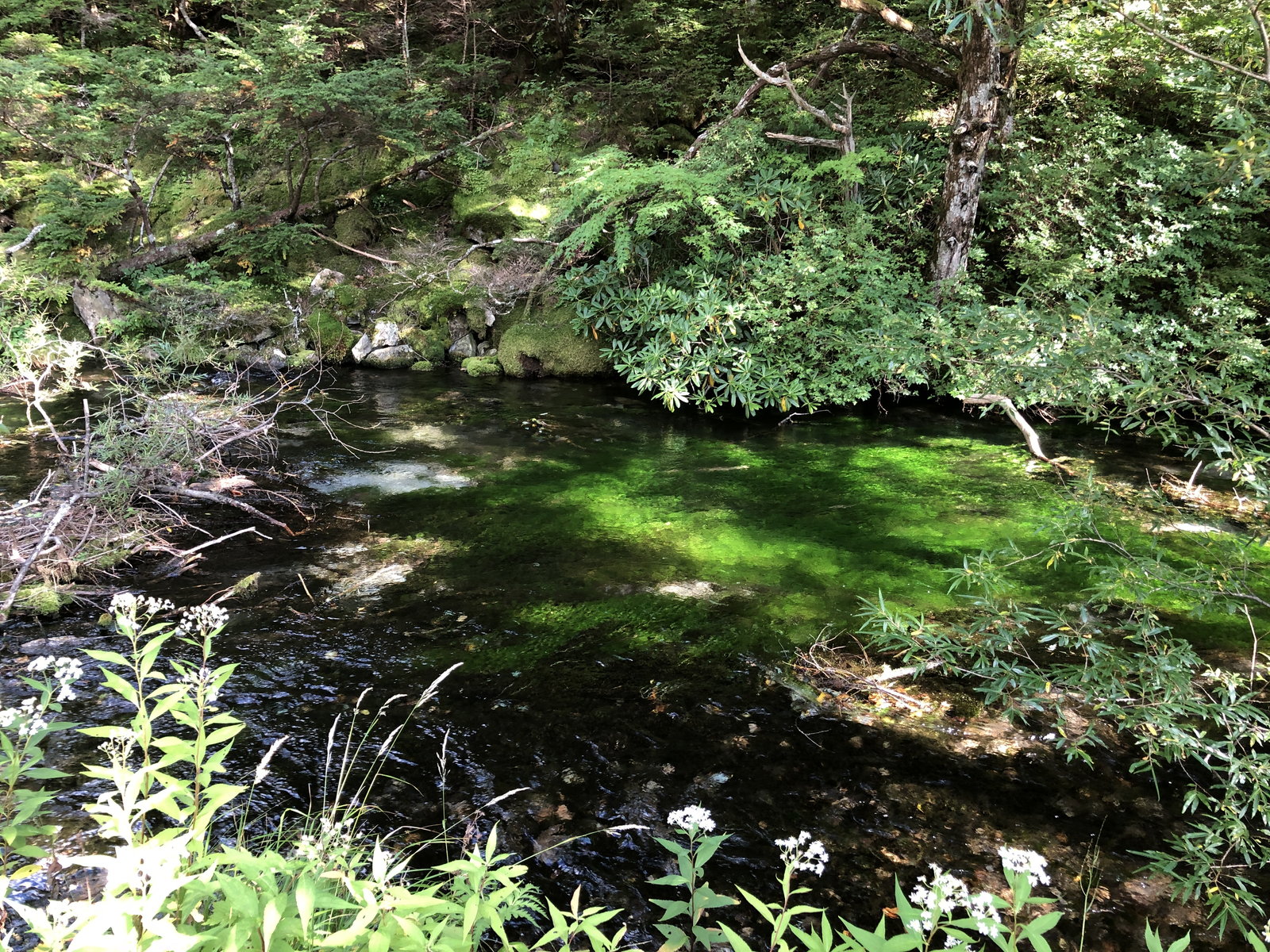
Keep walking — from here the trail switches back and forth between a pleasant riverside boardwalk and stretches of forest. Bear bells are set up along the trail, so ring one as you go. Along the water’s edge here, vivid green moss grows thick, and the shallows turn into a beautiful little forest of water plants swaying in the current — look closely and you might spot stream fish gliding through the clear water.
Kamikochi is just as famous for its autumn color as it is for Kappa-bashi itself — the valley floor usually peaks mid-to-late October, with higher points like Tokusawa turning a little earlier, as the maples go red against the dark evergreens. The karamatsu (Japanese larch) are the real icon of Kamikochi’s autumn, though, and they’re a second act: their needles turn a warm gold after the maples have already peaked, usually reaching their own peak in the first week of November, right at the tail end of the season before the needles drop. Time your visit around whichever color you’re after; outside that window, the valley floor still stays a rich, textured green through most of the season.
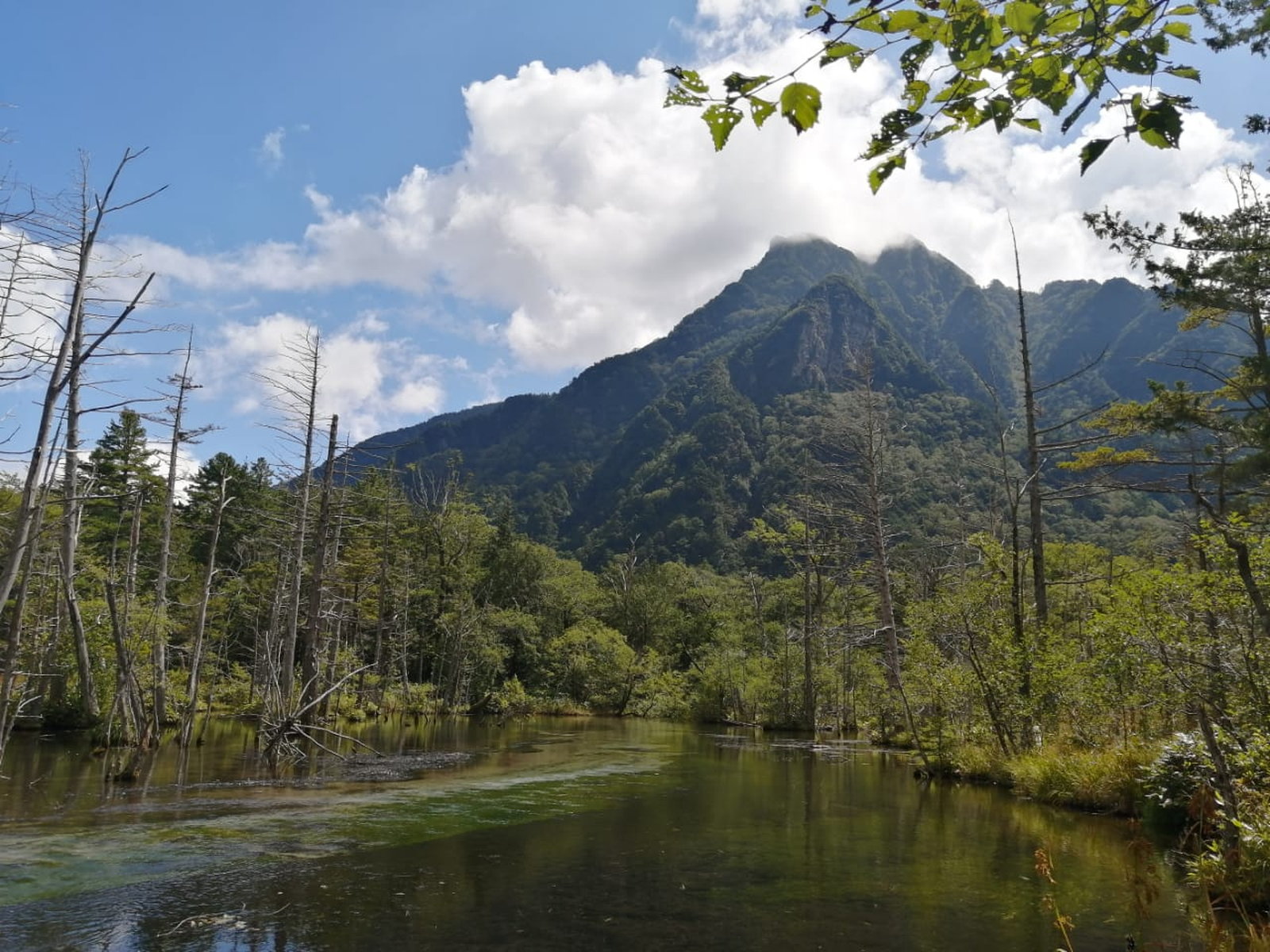
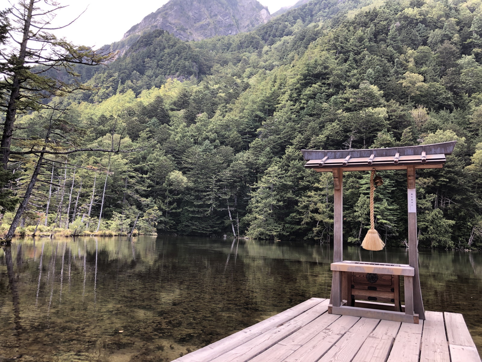
Myojin-ike: Before long, you’ll reach today’s destination: a spring-fed pond at the base of Myojin-dake, so clear and still it barely looks real. Its calm water, the peak towering behind it, and the small shrine of Hotaka Shrine’s okumiya (inner shrine) standing at its edge don’t need much explanation — standing in front of that solemn scenery, you can almost understand why mountain worship took root in Japan long ago. Budget real time here, not just a photo stop.
Once you’ve taken in the scenery, it’s time for lunch. My top recommendation is the iwana (mountain charr) set meal at Kamonji-goya, right at the pond’s edge — white rice, miso soup, pickles, and iwana slowly grilled over charcoal. Eating a proper Japanese meal on the shore of Myojin-ike might just be one of the highlights of your whole trip to Japan.
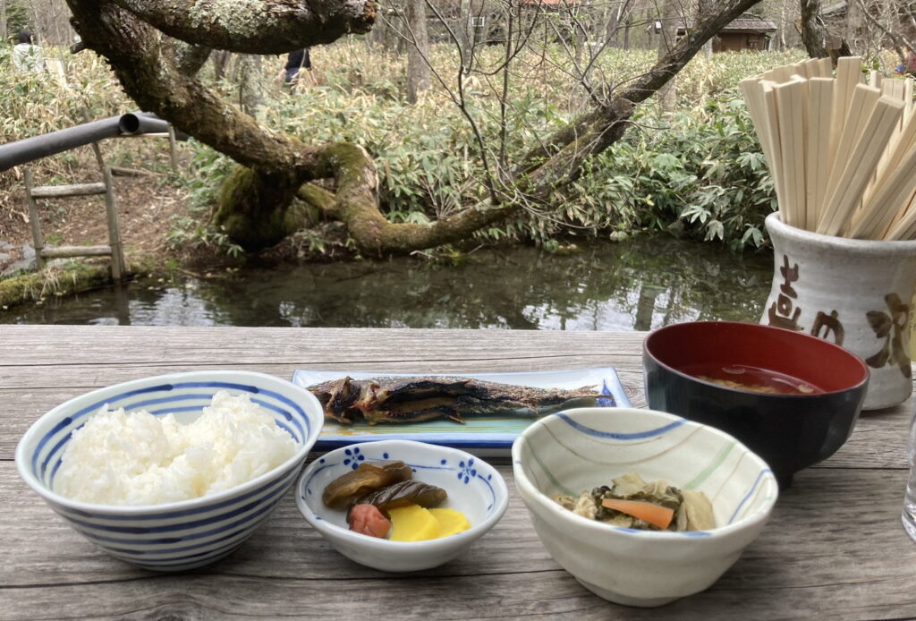
– Kamonji-goya: a 146-year-old hut, known for iwana grilled slowly over an open irori hearth — salt-grilled iwana ¥1,500, or the full set meal ¥2,300. Open late April–mid November, 10:00-14:00 (last order), cash only, no reservations for the dining hall. *Worth checking their Instagram, or calling ahead after 16:00, to make sure the iwana dishes are being served that day. See also: Kamonji-goya on YouTube.
From here it’s the walk back, through the trees. If you’re lucky, you might cross paths with a family of Japanese macaques — keep your distance and don’t try to feed or touch them. I always get so busy admiring how cute they are that they’ve wandered off again before I think to grab the camera — next time, I swear, I’m actually getting the shot. From Kamonji-goya, it’s roughly 2 hours 15 minutes back to the Kappa-bashi area at an easy pace.
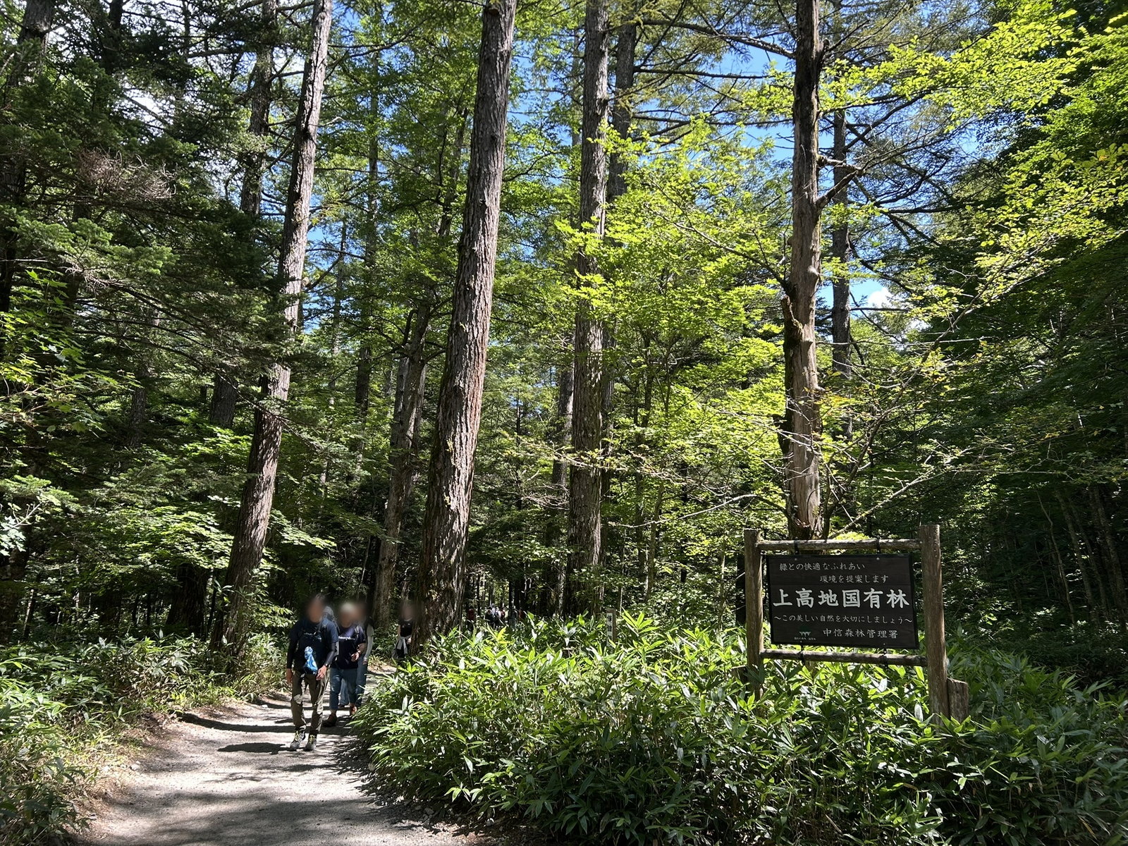
A little tired from the walk? There’s still time before the bus. Why not enjoy cake and tea at a café, or — if you have time to spare — refresh yourself at the day-use hot spring on the way back? From beautiful scenery to a café to an onsen, all in one visit — this is exactly why I’ve come back to Kamikochi more times than I can count.
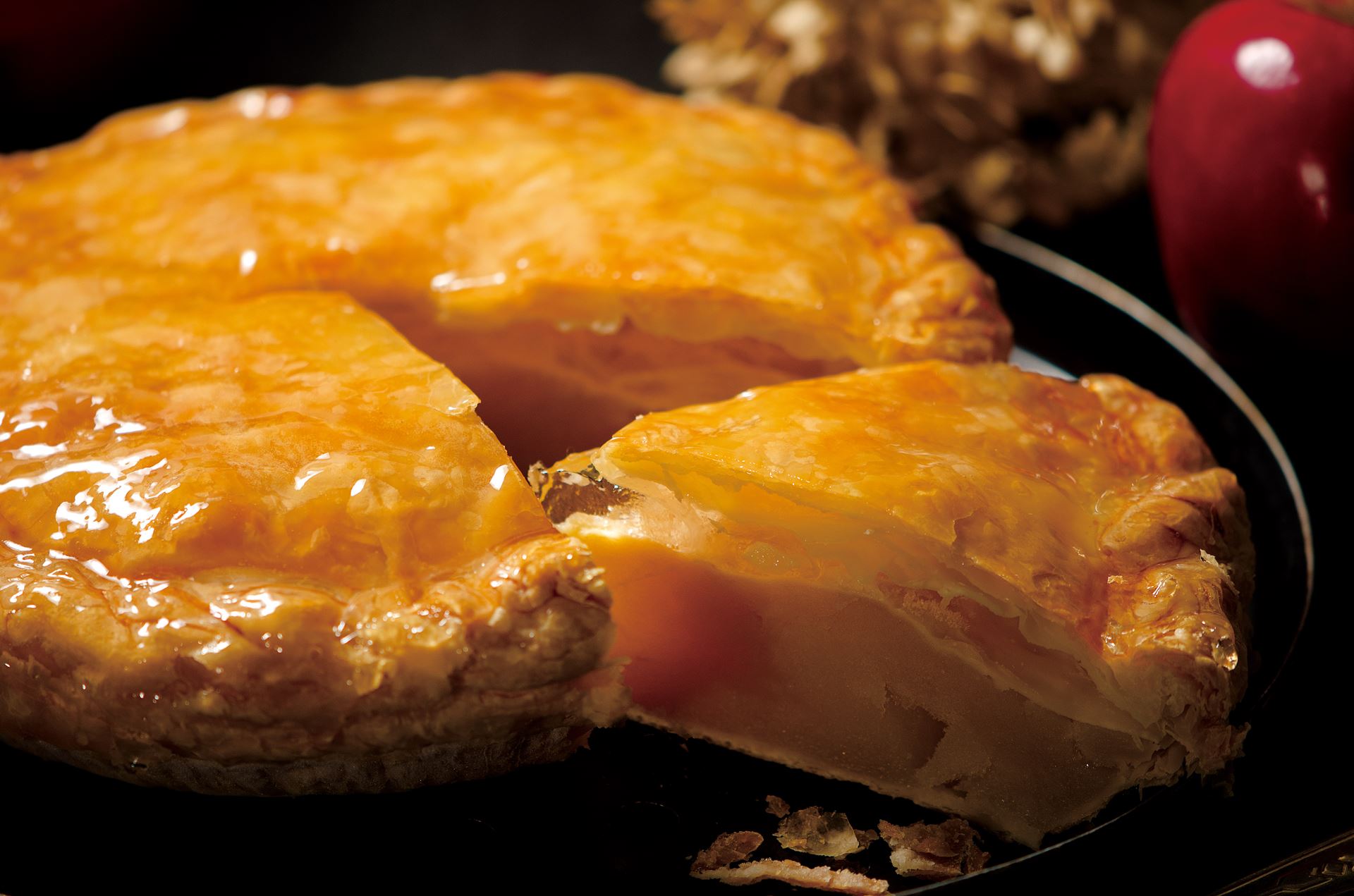
– TROIS CINQ (at The Parklodge Kamikochi): Kamikochi’s most talked-about sweet — a rustic apple pie where each cut piece of Shinshu apple stays visible rather than melting into a soft, stewed filling, with no cinnamon to mask the fruit’s own flavor. Popular enough that weekends bring a real line. Open seasonally, roughly April–mid November, café hours around 9:00-16:00. (See the official TROIS CINQ site.)
– ♨️ Kamikochi Onsen Hotel: right on this route (you’ll pass it on the way back), with three of its own natural hot spring sources, all kake-nagashi (continuously fed, never recirculated). Day-bath ¥1,000 for adults, open 7:00-9:00 and 12:30-15:00, seasonal (late April–early November). (See real photos of the baths on Rakuten Travel.)
Route Information
Route Overview: The boardwalk and gravel trekking paths here are all well-maintained and very easy to walk — casual shoes like sneakers are more than enough. Just don’t get so relaxed that you miss your bus back. Here’s the timing for each leg:
Pace here is really about how long you linger — at Myojin-ike, over lunch, or for photos at Kappa-bashi. These times are steady walking pace only.
- Kamikochi Bus Terminal (1,505m) — start
- ↓ ~7min
- Kappa-bashi — the classic view
- ↓ ~45min (via Konashidaira Campground)
- Myojinkan — lodge, restaurant
- ↓ ~13min (via Myojin-bashi)
- Myojin-ike — turnaround point, lunch at Kamonji-goya
- ↓ ~63min (retrace to the junction, then across to Dakesawa)
- Dakesawa Trailhead
- ↓ ~18min (via Dakesawa Marsh)
- Viewpoint — Hotaka and Yake-dake across the river
- ↓ ~18min (past the hotel row)
- Weston Monument — honoring Walter Weston
- ↓ ~37min
- Kamikochi Bus Terminal — goal
Total: 3 hours 21 minutes of walking (official standard pace) — with lunch, photo stops, and time at the pond, budget most of a day.
Trail Hazards: None in the usual mountain sense — flat, well-maintained gravel and boardwalk the entire way. The only real thing to watch: boardwalks and bridge decking can get slick when wet. As anywhere in these mountains, black bears are occasionally sighted too — see Risks & Safety below.
Side Trip: Since this loop only takes half a day, it’s worth getting off the bus one stop early at Taisho-ike (大正池) instead of riding all the way to the terminal, and walking in from there — roughly another 30-45 minutes one-way, past the drowned-tree scenery Taisho-ike is known for and a closer look at Yake-dake across the water. Easy to fold into the same day if you’re not pressed for the return bus.
Ready to Hike?
Permits & Restrictions: No hiking notification (tozan todoke) is needed for a walk like this one, where you’re just enjoying the hiking route without climbing a peak — it’s not alpine terrain. The one rule that matters here is access, not the trail itself: see Transportation below for Kamikochi’s permanent private-car ban.
Weather & Conditions: Early October days are pleasant, but mornings at 1,500m can be close to freezing — layer up for the start. You can check current conditions anytime via the live camera linked under Maps & Navigation below.
Maps & Navigation: One well-marked network of paths the whole way — genuinely hard to get lost here.
– Online Map: AllTrails / YAMAP (Japanese hiking app — this is my own route plan, not a public model course)
– Offline Map: Yama to Kogen Chizu “槍ヶ岳・穂高岳 上高地” (No. 38) (Japanese only)
– Live Camera: Kamikochi Visitor Center — live camera — a good way to check current conditions before you head out.
Connectivity: Better than most alpine terrain — Kamikochi is a major, well-developed tourist destination, and the valley floor this loop stays on has decent signal from the major Japanese carriers most of the way. Coverage thins out fast once you head up onto the surrounding ridges.
Transportation: Kamikochi has a permanent, year-round ban on private cars (including rental cars) past the Kama Tunnel — everyone arrives by shuttle bus or taxi from a gateway parking area. Coming by train and bus from Tokyo, that’s a non-issue: you’re on the bus already.
– Getting to Matsumoto
From Shinjuku, the Azusa limited express (Chuo Line) runs direct to Matsumoto Station, about 2h40m, roughly hourly through the day.
– Getting from Matsumoto to Kamikochi and back
Two ways, and both now require advance seat reservations — book as early as you can, especially on weekends, when seats on either route can fill up weeks out. The straightforward default: (1) Matsumoto Dentetsu’s Kamikochi Line to Shin-Shimashima Station (~30min), then the Alpico Kotsu route bus on to Kamikochi Bus Terminal (~1h). If you’d rather skip the transfer and seats are still open, (2) a direct reservation-only bus runs straight from Matsumoto Station, about 1h30m for the regular runs, with an early “早朝便” departure that gets you into Kamikochi by around 7am.
Example itinerary (Matsumoto overnight)
Day 1: 🚆15:00 Shinjuku → 17:37 Matsumoto. Stay overnight in Matsumoto.
Day 2: (out)🚆08:01 Matsumoto → 08:31 Shin-Shimashima → 🚌08:40 → 09:45 Kamikochi → ⛰️
(back)🚌16:40 Kamikochi → 17:45 Shin-Shimashima → 🚆18:00 → 18:29 Matsumoto → 🚆18:40 → 21:17 Shinjuku
Rough one-way cost: ~¥7,440 Shinjuku↔Shin-Shimashima, ~¥3,100 Shin-Shimashima↔Kamikochi (bus).
Reservations & timetables: Alpico Kotsu — Matsumoto/Shin-Shimashima to Kamikochi
Water & Food: No need to carry a full lunch — there are plenty of places to eat along the way. Water’s different: there’s nowhere to refill on the trail itself, so bring a bottle and start full.
My Packing List: Nothing technical — this is a valley walk, not a mountain route.
– Comfortable walking shoes
– Water
– Light warm layer for the morning
– Cash — most huts and onsens here don’t take cards
– Camera — you’ll want it at Kappa-bashi
Risks & Safety: Low-risk by mountain standards, but not zero:
– Black bear: Kamikochi’s own visitor center maintains an ongoing bear-sighting map for the area, updated as reports come in — treat it as a normal, ever-present caution rather than something ruled out by a quiet week, carry a bear bell, and check the map before you go. Source: Kamikochi Visitor Center — bear sightings.
After the Hike
Local food: Save room for Matsumoto too, since you’re staying the night — the city’s known for basashi (horse sashimi), sanzoku-yaki (a whole fried chicken thigh, Matsumoto’s own specialty), and Shinshu soba, all easy to find near the station.
Other Things to Do:
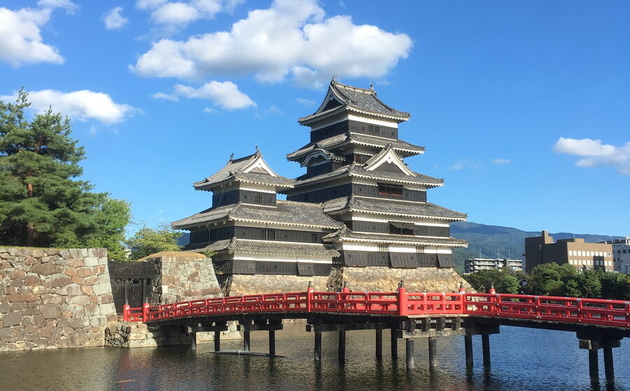
– Matsumoto Castle: one of Japan’s original wooden castles, a national treasure, and one of the most photographed sights in the city — just a short walk from Matsumoto Station. Open 8:30-17:00 (last entry 16:30), closed Dec 29–31. Adult admission ¥1,300 (¥1,200 with an online e-ticket) — published 2026 rates, worth double-checking before you go. An easy fit for your overnight evening, or the morning before heading up to Kamikochi.
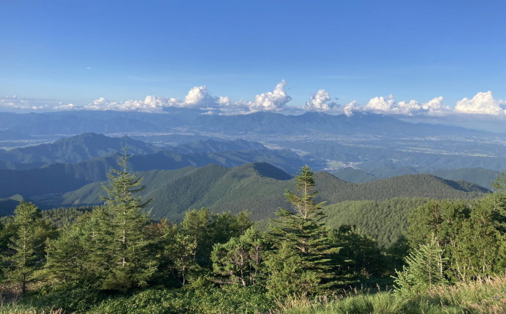
– Utsukushigahara Kogen: a wide, grassy highland plateau above Matsumoto (around 2,000m), roughly an hour away by car — rolling pastures, free-grazing cattle, and on a clear day a 360° panorama taking in the Northern, Central, and Southern Alps all at once. No set hours as an open-air plateau, though the art museum and rest facilities up there keep their own daytime hours. Best as a half-day add-on if you have a rental car.
Information & Disclaimer
I’ve tried to keep this page up to date, but things in the mountains can change. Weather, trail conditions, and access may be different when you visit.
This page is based on my own experience when I hiked the route. Before heading out, check the latest information and make sure the conditions are right for you.