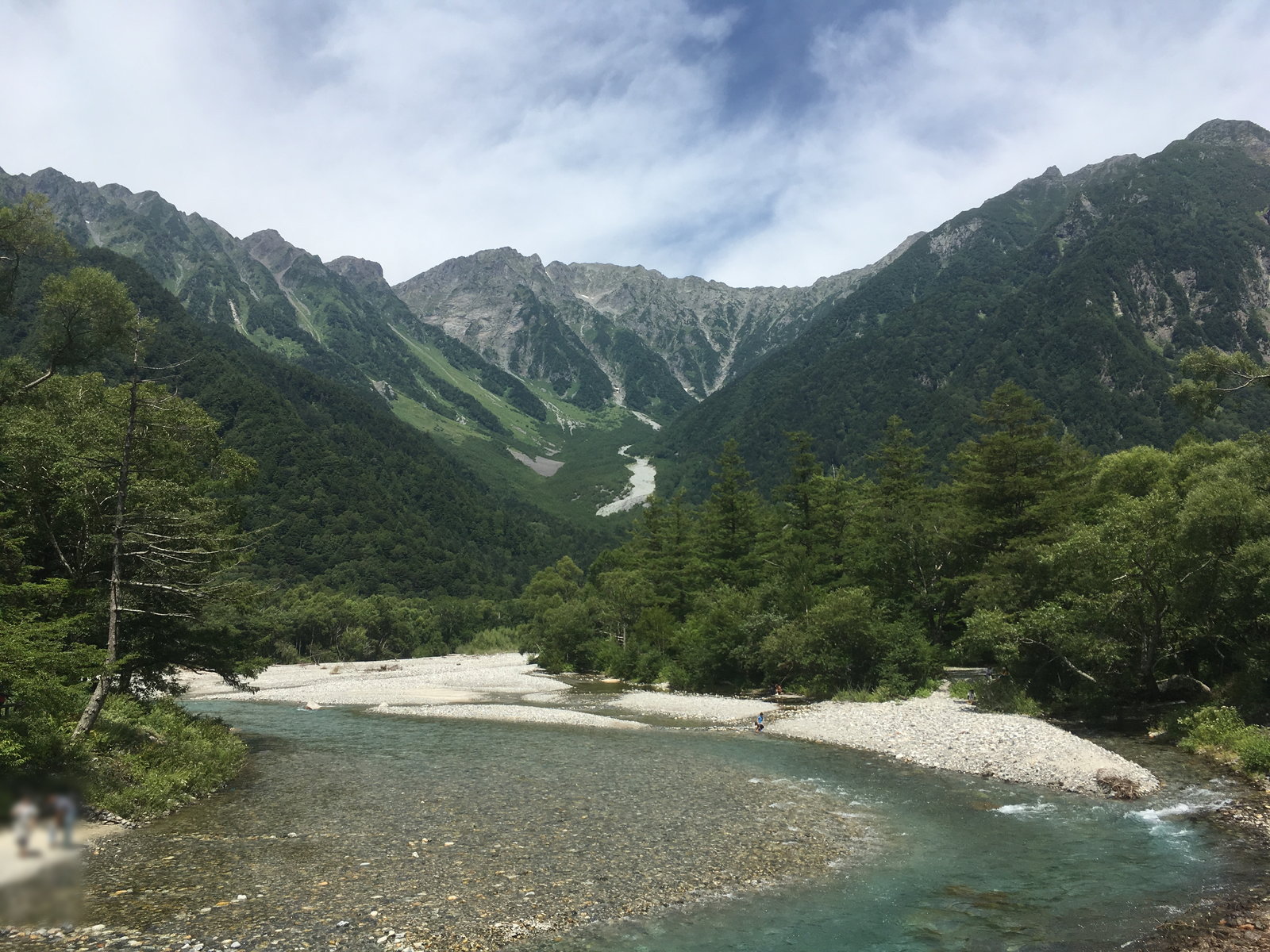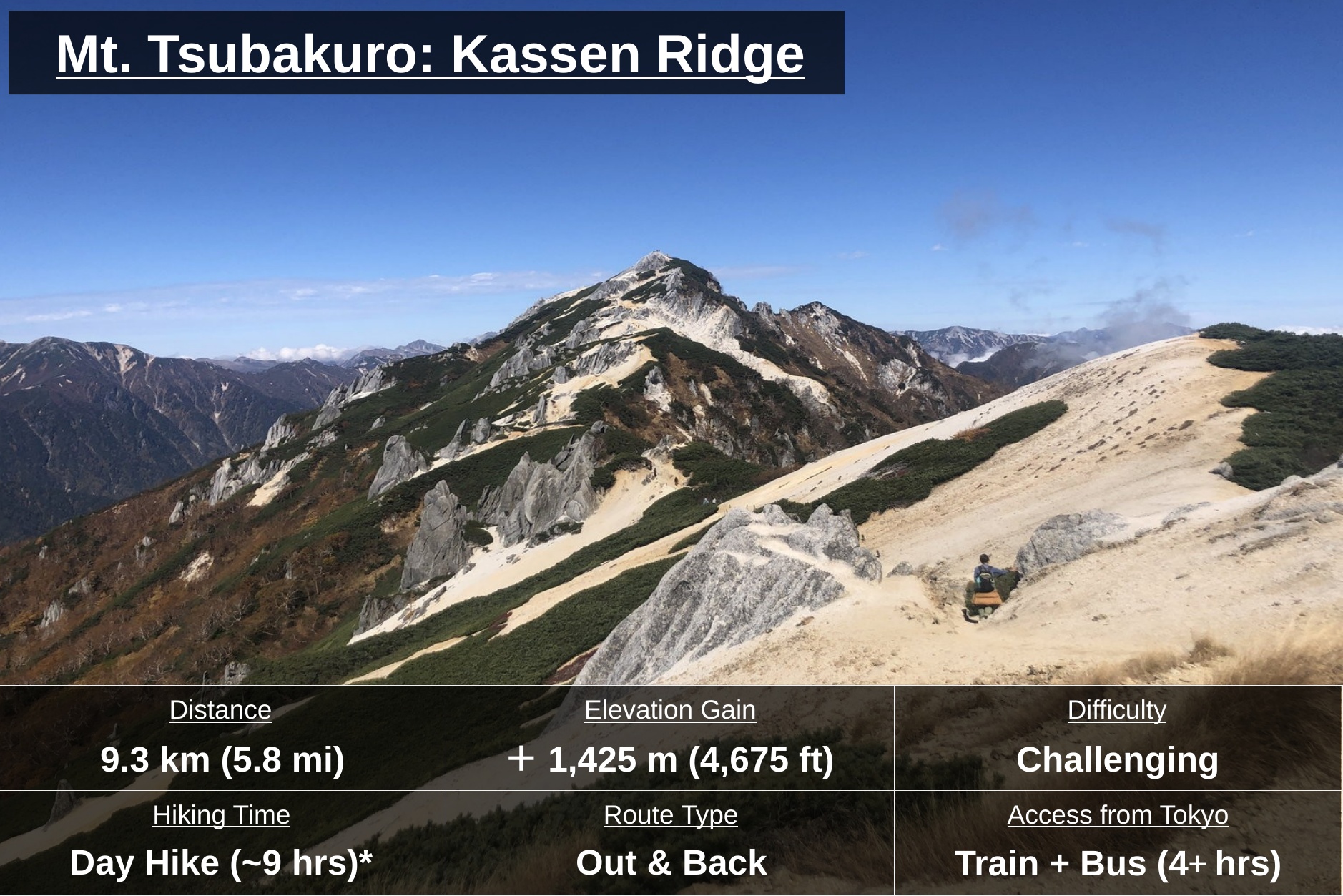
Mt. Tsubakuro (燕岳) is the classic gateway peak of the Northern Alps above Azumino — beach-white granite slopes wrapped in a gown of dwarf pine, the look that earned it the nickname “Queen of the Northern Alps.” Even as a day hike, the climb up Kassen Ridge — one of the Northern Alps’ three great steep ascents — earns its keep: sweeping views into the Alps’ core, Yarigatake included, the wind-carved Dolphin Rock, Komakusa in bloom, and cake with a view at Enzansō, one of Japan’s most photographed mountain huts. It’s normally an easy overnight (stay at the hut, catch sunrise over Yarigatake), but this page plans it as a single long day hike instead.
I hiked this route in October 2022 and 2024. This page was last updated in September 2026.
At a Glance
Distance: 9.3 km (5.8 mi) round trip
Elevation Gain: +1,425m (+4,675ft), -1,425m (-4,675ft)
Average Time: Day Hike (~9 hrs) / standard 2D1N via Enzansō
Difficulty: Challenging
Best Season: Late June–Oct
Access: ~4 hrs, Train and Bus from Tokyo (day-trip timing is tight — see Transportation)
Maps: ⬇ Download GPXFor reference only — conditions may vary by season or trail status.
Highlights
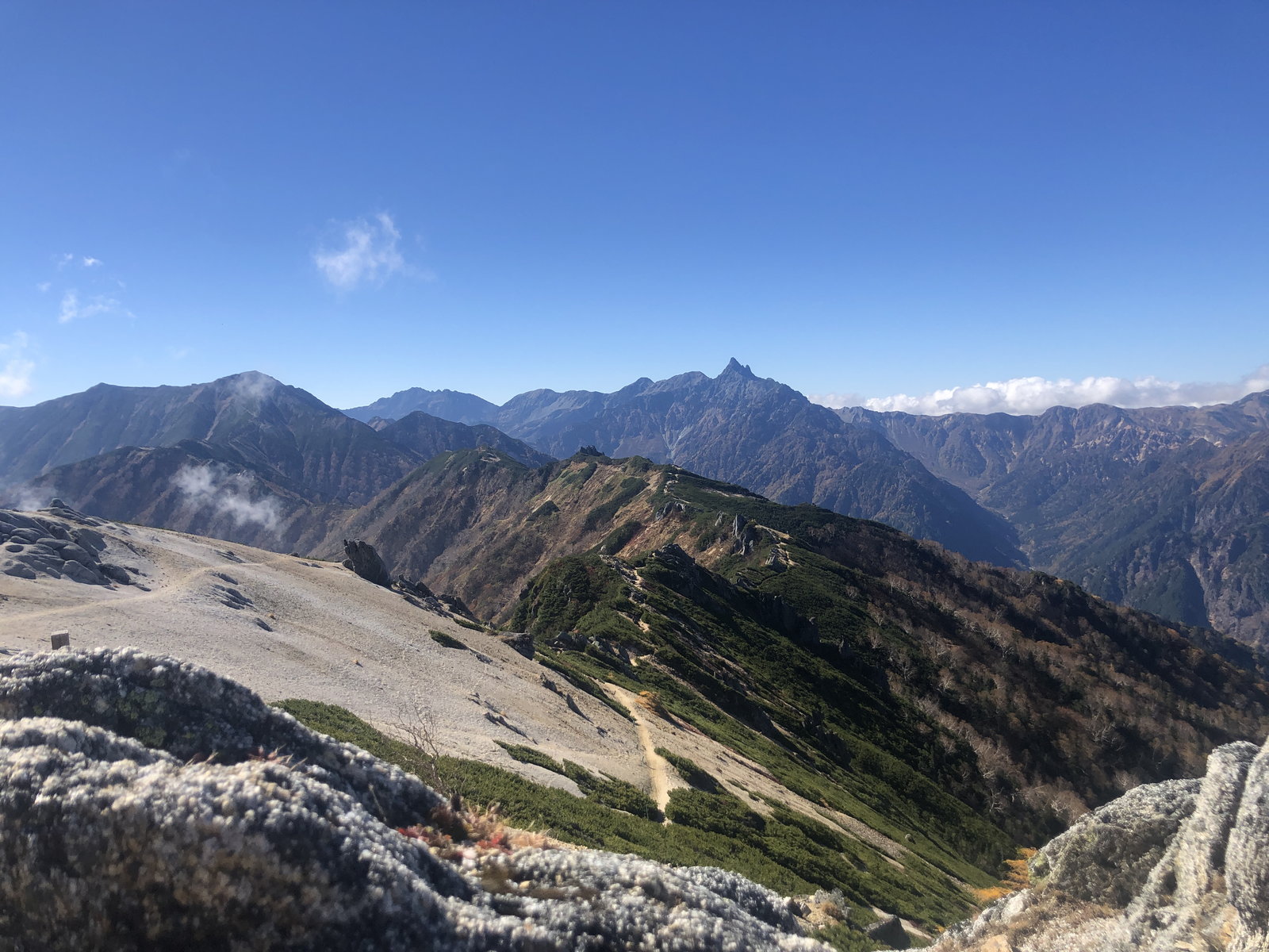
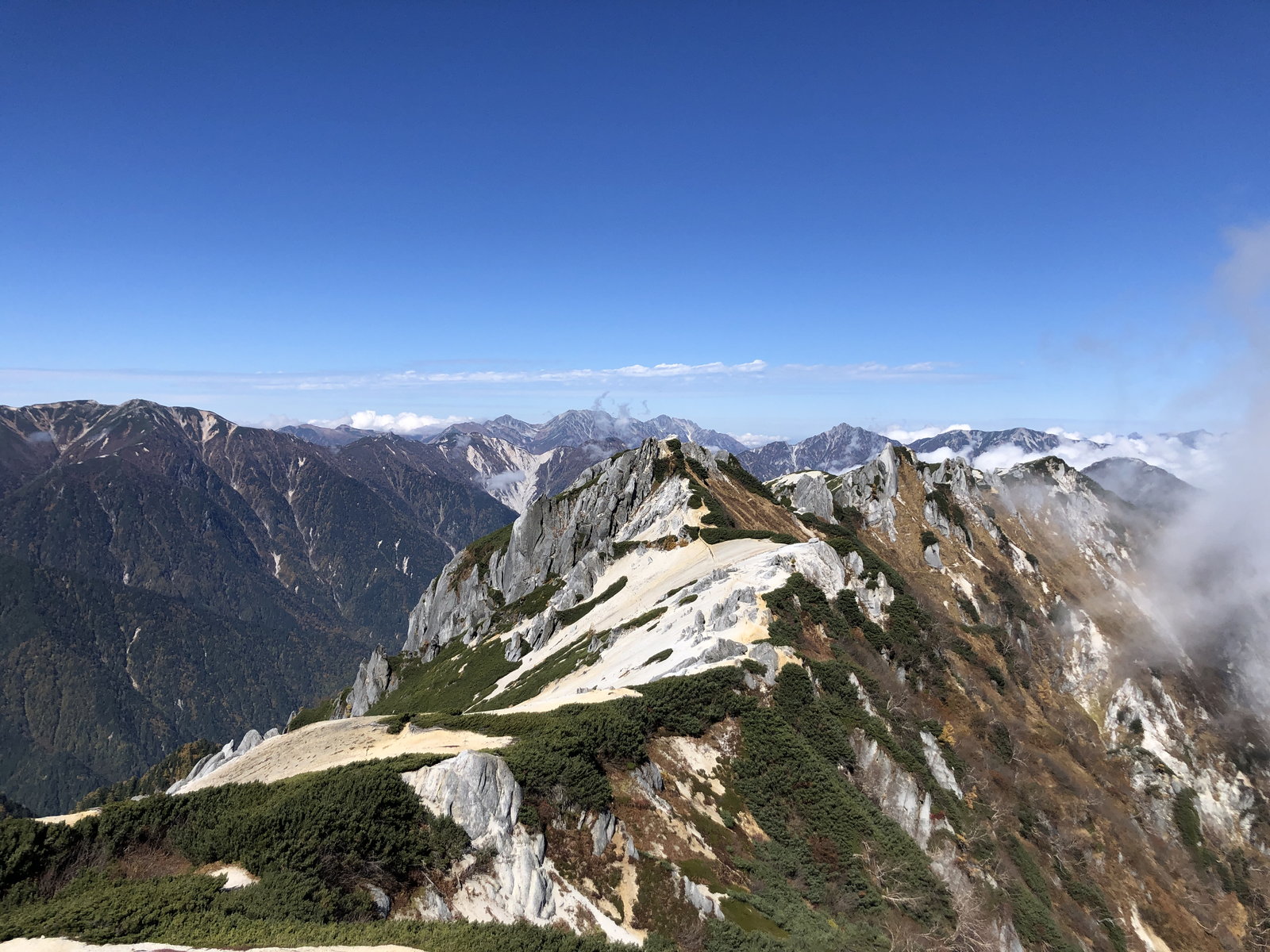
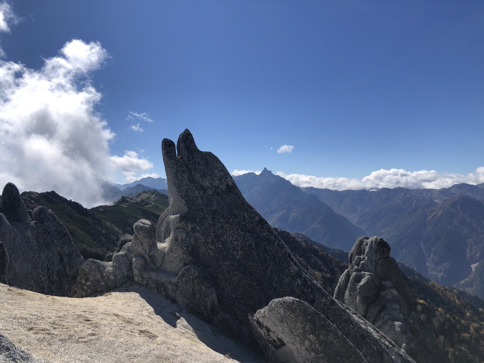
Views: On a clear day, you can even spot Mt. Fuji far in the distance from around Fujimi Bench. Break out of the forest onto the open ridge just below Enzansō, and it’s suddenly a different world — Yarigatake and the Hotaka range fill the skyline, the central Northern Alps laid out in front of you.
Flowers & Plants: This ridge is famous for Komakusa — in July–August they bloom along the ridge line toward Mt. Tsubakuro. In autumn, larch adds a touch of gold to the ridge, with foliage color spreading through the forest zone lower down.
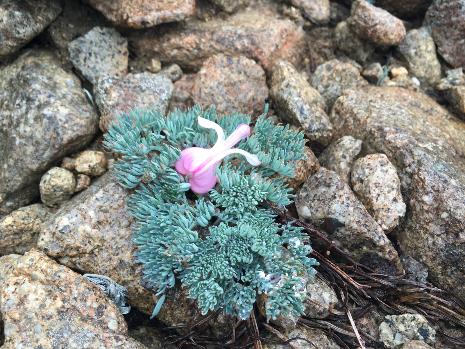
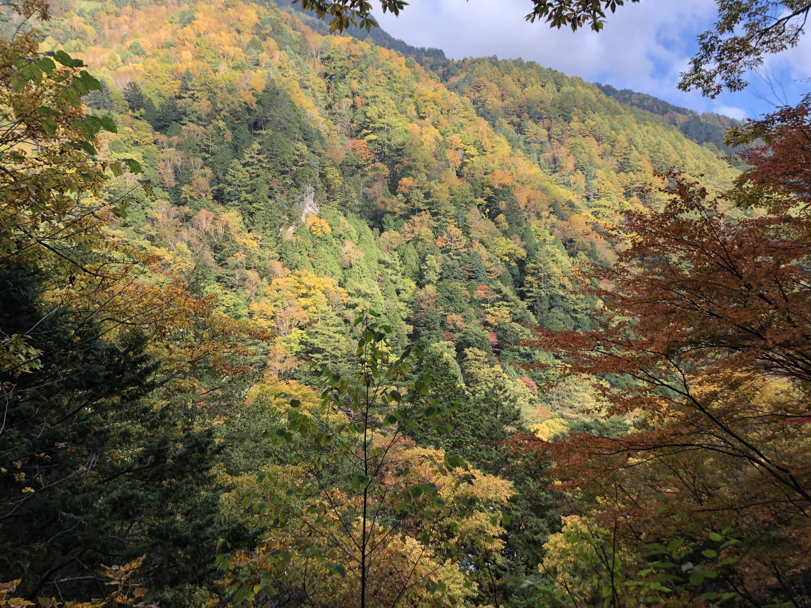
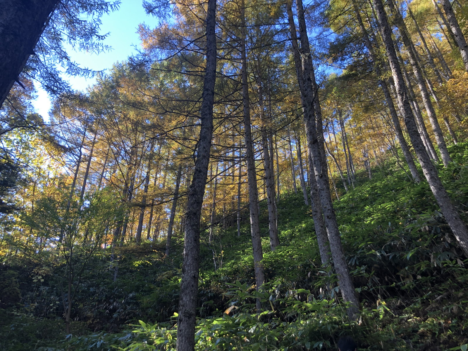
Geology & Landscape: Iruka-iwa (“Dolphin Rock”) and other wind-carved granite outcrops rise along the summit ridge — when the clouds sit below you, these strange rock formations against the sky give the whole scene an almost otherworldly feel.
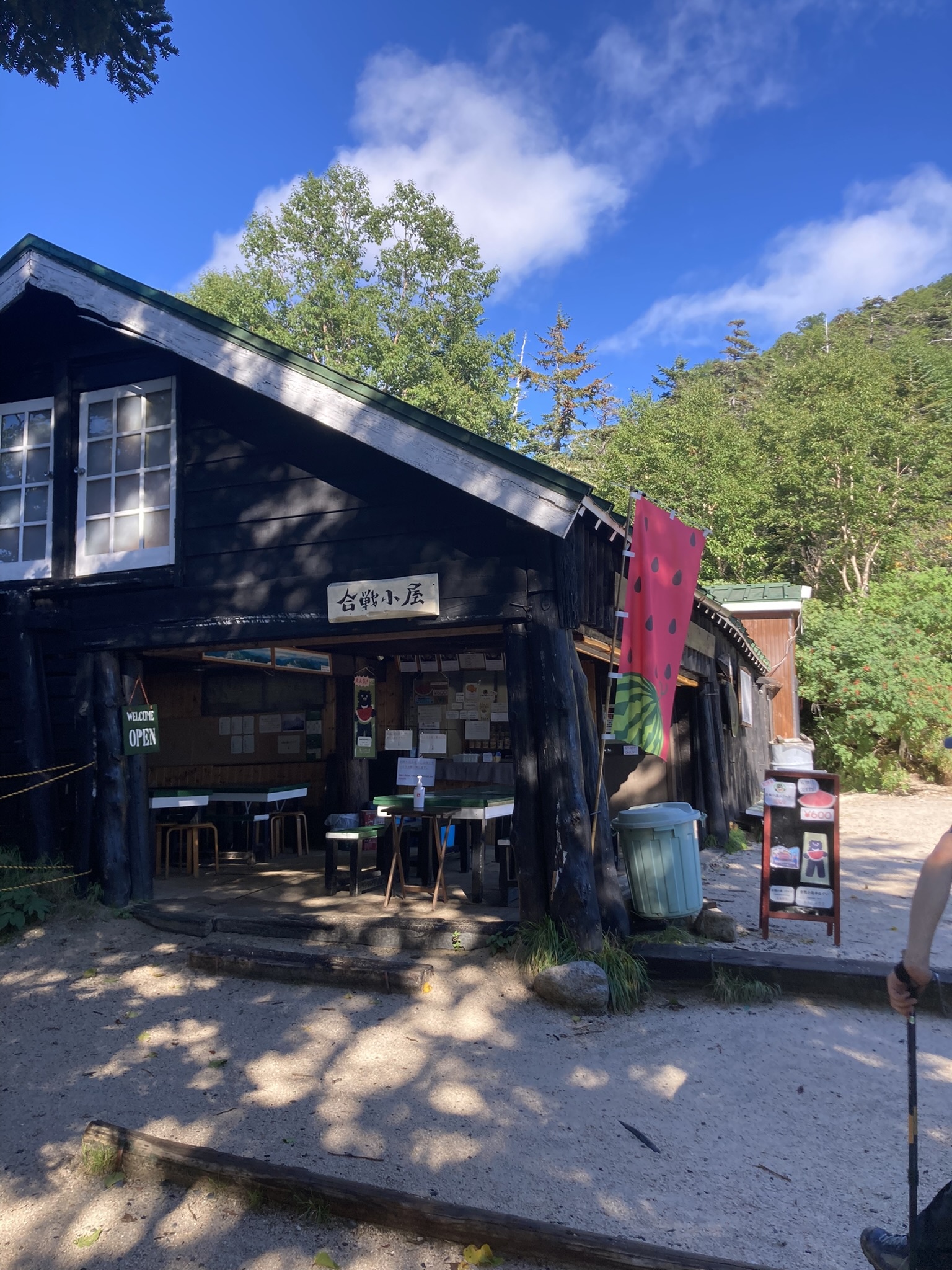
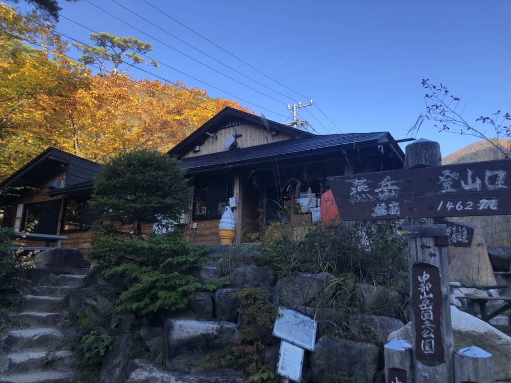
Mountain Huts: Kassenkoya, a trailside rest hut roughly two-thirds of the way up, is a good spot to grab a drink or a snack — especially from June to September, when its watermelon is the star of the show.
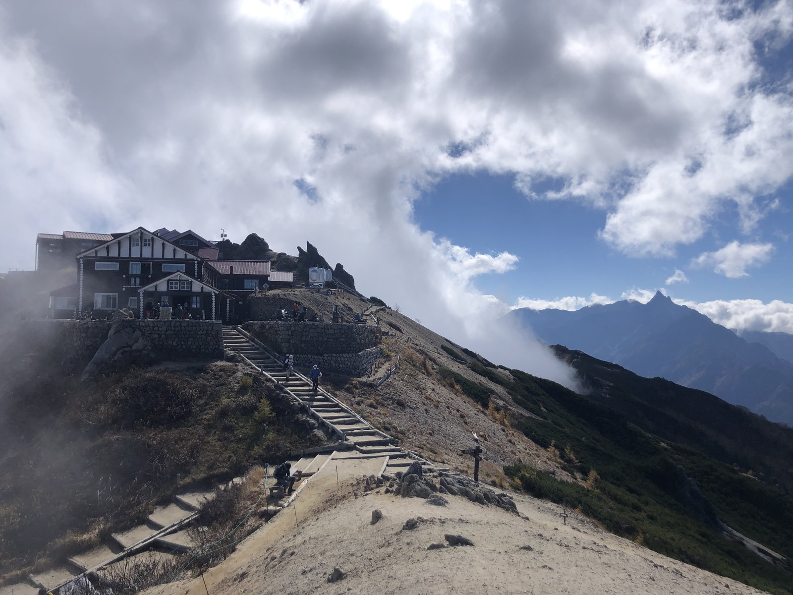
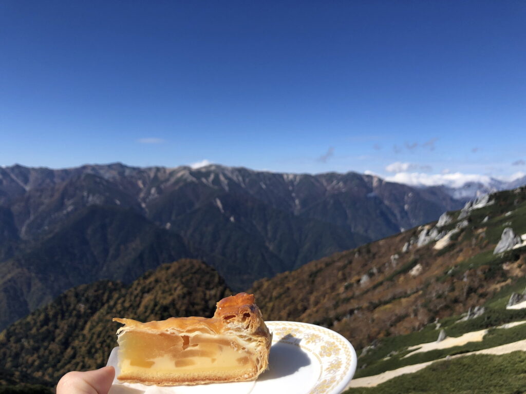
Enzansō, the large staffed hut just below the summit, is normally the overnight stop on this route. For me it’s a cake-and-tea break with a gorgeous panoramic view — order the cake set, settle in facing the ridge, and then, inevitably, realize it’s already time to start heading back down.
Route Information
Route Overview: Out-and-back via 合戦尾根 (Kassen Ridge) from Nakabusa Onsen (1,450m) — the switchbacks are relentless but well-benched, so it’s more a long grind than a technical climb, past a string of numbered rest benches and Kassenkoya, before the forest finally breaks open near Kassenzawa-no-kashira and the ridge takes over. From there it’s a short, scenic walk past Enzansō to the summit — same trail back down.
These times assume an average pace — your fitness level and trail conditions can shift them quite a bit, so build in some buffer, especially near the last bus.
- Nakabusa Onsen Trailhead (1,450m) — start
- ↓ ~40min
- 1st Bench (第一ベンチ) — spring water source
- ↓ ~1h50m (via 2nd & 3rd Bench)
- Fujimi Bench — first Fuji/Yari-direction view
- ↓ ~40min
- Kassenkoya — rest hut, drinks/snacks
- ↓ ~20min
- Kassenzawa-no-kashira — ridge viewpoint, first big panorama
- ↓ ~1h
- Junction near Enzansō
- ↓ ~1h15m
- Mt. Tsubakuro summit (2,763m) — highest point of the hike
- ↓ ~3h10m (retrace: Enzansō junction → Kassenzawa-no-kashira → Kassenkoya → Fujimi Bench → benches)
- Nakabusa Onsen Trailhead (1,450m) — goal
Total: 8 hours 55 minutes (YAMAP’s official standard course time for this route, normally split across 2 days with a night at Enzansō) — done as one day, start at first light and build in real buffer before dark.
Trail Hazards: There’s a short chain section about halfway between Kassenkoya and Kassenzawa-no-kashira — take it slow and keep three points of contact. Elsewhere, watch your footing on the weathered granite sand, which can get slippery underfoot. If you’re relying on public transportation, timing is a real hazard here too — see Transportation below for how to plan around it.
Side Trip: If you extend the hike into the standard 2D1N with a night at Enzansō and have some daylight to spare, Kita-Tsubakuro (北燕岳) is a quiet 30–40 min out-and-back from Mt. Tsubakuro’s summit. In the other direction, part of the ridge toward Daitenjō-dake is worth a walk too. And if you can spare one more night, continue past Daitenjō-dake toward Jōnen-dake or Yarigatake — for those relying on public transportation, the Yarigatake side is the better option.
Ready to Hike?
Permits & Restrictions:
⚠️ No permit is needed for the trail itself. The Nakabusa access road only reopened on a provisional basis on 2026-08-22 after an August landslide, and conditions are still evolving. The recommended bus (Nan-an Taxi’s Nakabusa Onsen service) returned to its normal schedule on 2026-09-12, though it can still be suspended on short notice for rain or road conditions. If driving instead, private-vehicle passage is currently 5:00–18:00 every day (since 2026-09-18), also provisional. Check current status before you go either way. (See Transportation below for bus details.)
Source: Azumino City — 北アルプス登山(中房線・一の沢線の状況)
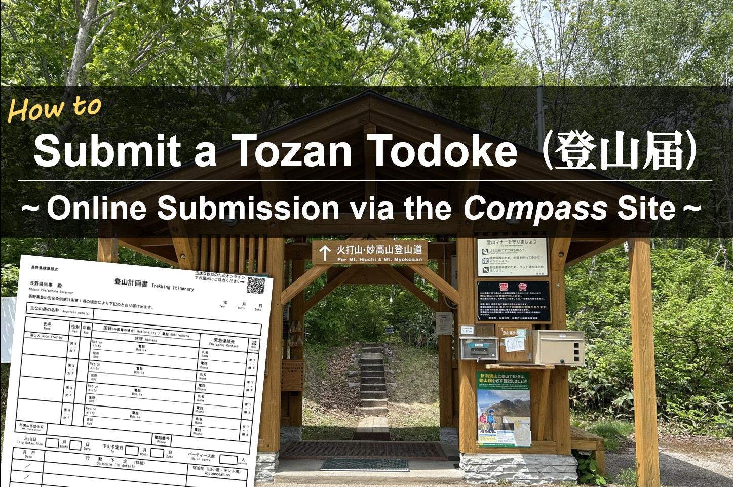
💡 Nagano Prefecture strongly encourages a “Tozan Todoke” (登山届, hiking notification) for Northern Alps routes like this one — online submission via the COMPASS website (See also: how to submit) is the easiest option, and it also gives you an estimated hiking time as a useful planning check.
Weather & Conditions: Ridge weather swings hard year-round, so rain gear is essential whatever the forecast says. The summit sits at 2,763m, and it stays cold up there no matter the season — I always bring a down jacket and a thin fleece, whenever I climb. A few things worth planning around:
– ❄️ October: rising chance of first frost or light snow above ~2,500m — check the forecast the morning of.
– ⚠️ November–April: full winter mountaineering conditions on the ridge — heavy snow, extreme wind chill, and technical gear (crampons, ice axe) required. The access bus doesn’t run during this window either, so it’s off the table for a standard hike.
– ⛄May–June: lingering snow can still sit on the upper ridge well into early summer — check current conditions on YAMAP or AllTrails and carry traction gear (crampons/microspikes) if you’re going before the season is fully open.
Maps & Navigation: Single well-marked trail the whole way — though in fog, the ridge sections get hard to follow, so slow down and keep a close eye on the markers. Cell signal is patchy above Kassenkoya — carry an offline map regardless.
– Online Map: AllTrails / YAMAP (Japanese hiking app)
– Offline Map: Yama to Kogen Chizu “槍ヶ岳・穂高岳 上高地” (No.38) (Japanese only)
Connectivity: Mobile signal on this route can be inconsistent, and coverage varies a lot by carrier. docomo officially lists Mt. Tsubakuro/Enzansō in its mountain-area coverage map, so a docomo-based SIM/eSIM — such as Sakura Mobile — gives you a reasonable shot at getting signal here. Given how unpredictable mountain signal can be, and the chance of a device failing, it’s worth carrying a paper map as backup too.
Transportation: Taking the train and bus is the standard way in — roughly 4 hours from central Tokyo to the trailhead, with the bus running late April through early November.
⚠️ Heads up: the bus window for a day hike is tight — the first practical bus reaches the trailhead at 7:35, the last one back leaves at 16:15, barely more than the ~8-hour standard hiking time. That 7:35 bus can’t be reached from Tokyo the same morning, so a day trip means overnighting in Matsumoto the night before (see the sample itinerary below). Unless you can keep a brisk pace, staying at a mountain hut instead is the safer option. Confirm the current timetable before you go — it can still shift while the road remains on provisional status (see Permits & Restrictions above).
– Getting to Nakabusa Onsen trailhead
From Tokyo, take the Azusa limited express (Chuo Line) from Shinjuku to Matsumoto, then the JR Ōito Line to Hotaka Station (穂高駅). From Hotaka, it’s about a 55-minute bus/taxi ride up to the trailhead — Nan-an Taxi and Azumi Kanko Taxi jointly run the scheduled Nakabusa-line bus.
– Getting back
Reverse the route: the Nakabusa-line bus back down to Hotaka Station (~55 min), then the Ōito Line to Matsumoto and the Azusa limited express to Shinjuku. Catching the ~16:15 bus from the trailhead typically gets you back to Tokyo the same evening.
Example Itinerary
Day 1 (Fri):
・(🚆Chuo Line, Azusa) 15:00 Shinjuku Station – 17:37 Matsumoto Station — stay overnight in Matsumoto
Day 2 (Sat):
・(🚆Ōito Line) 05:56 Matsumoto Station – 06:28 Hotaka Station
・(🚍中房線 bus) 06:40 Hotaka Station – 07:35 Nakabusa Onsen Trailhead
[⛰️hike]
・(🚍中房線 bus) 16:15 Nakabusa Onsen Trailhead – 17:10 Hotaka Station
・(🚆Ōito Line) 17:43 Hotaka Station – 18:09 Matsumoto Station
[😋dinner around Matsumoto Station]
・(🚆Chuo Line, Azusa) 20:10 Matsumoto Station – 22:45 Shinjuku Station
Approx. cost: about ¥8,580 one-way from Tokyo (Azusa ¥6,730 + Ōito Line ¥350 + Nakabusa-line bus ¥1,500); bus timetable: nan-an.co.jp/nakabusa
Water & Food: There’s a spring water source at the 1st Bench (第一ベンチ) partway up — worth carrying a water filter if you’d rather not drink it untreated. Above Kassenkoya, though, there’s no reliable water source on the open ridge. Both huts on the way up sell food too:
– Kassenkoya (合戦小屋): famous for its watermelon and sansai udon (mountain-vegetable udon), plus oden and pork soup — cash only. The watermelon’s only sold late June–mid Sept; the udon and other snacks run all season.
Link: enzanso.co.jp/kassengoya
– Enzansō (燕山荘): the hut’s café does a cake set — your choice of one of four cakes with coffee, tea, or milk. A good reward near the top before you turn around. Both overnight rooms and tent-camping sites can be reserved online through the same reservation system, if you’d rather do this as the standard 2D1N.
Link: enzanso.co.jp/enzanso
My Packing List: Nothing special beyond the usual day-hike kit, but a couple of items below matter more than usual given the day-hike pacing.
– Backpack
– Water — 2–3L or more
– Lunch + trail snacks
– Layered insulation — fleece/softshell + windproof shell + down wear
– Rain gear — Gore-Tex rain wear
– Headlamp + spare batteries
– Tozan Todoke (hiking notification) + printed map
– Onsen kit — a towel and a change of clothes
Risks & Safety: Hiking trails everywhere carry the same basic risks: sudden weather changes, dehydration, getting lost, hiking alone. On top of those, a few things worth extra attention on this route:
– Long day / daylight: ~9 hours of moving time in a single push, with October daylight shorter than in summer. Start at first light and set a firm turn-back time — if you’re not past Kassenzawa-no-kashira by late morning, the summit isn’t happening safely before dark.
– Black Bear: Black bears are present in this area — treat it as a normal precaution, not a remote possibility. Azumino City’s own sighting log shows multiple recent reports right around the Ariake/Nakabusa trailhead area, most recently September 20, so this isn’t a hypothetical risk right now. Carry a bear bell, avoid hiking alone through the dense lower forest at dawn or dusk, and make noise on blind corners. Check current sighting information on Nagano Prefecture’s own bear information map before you go: 長野県 ツキノワグマ情報マップ.
After the Hike
Onsen (Hot Spring): The trailhead is itself an onsen resort area — about as convenient as a post-hike soak gets, since it’s the checkpoint at both the start and end of the timeline above.
♨️ Yuhara-no-Yu (湯原の湯)
Nakabusa Onsen’s own day-bathing facility, right at the trailhead — you’d be soaking within a few minutes of finishing. No reservation needed, and there’s a spot outside to leave your pack before you head in. Two outdoor-only baths draw on different hot-spring sources, and the on-site shop pours a well-earned beer alongside drinks and light snacks. 🍻
Hours: 8:00–17:00
Price: ¥950
Facilities: Outdoor bath only, on-site shop/rest area
Tattoos: Please inquire directly
Access: At the trailhead itself
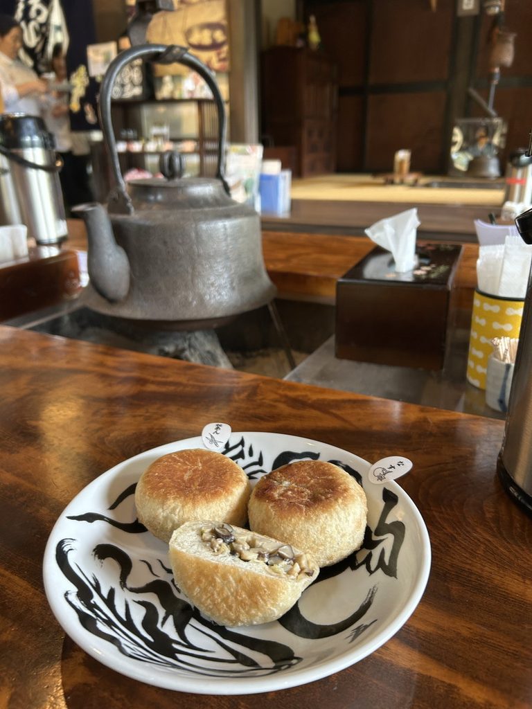
Local food: Azumino/Hotaka is soba country, but the other local specialty worth trying is oyaki — a Nagano staple: a bun of buckwheat or wheat dough, pan-fried then steamed, wrapped around a filling like nozawana pickled greens, mountain vegetables, or sweet red bean. Grab one at a station kiosk or local shop for a quick, filling bite.
Cafés and restaurants:
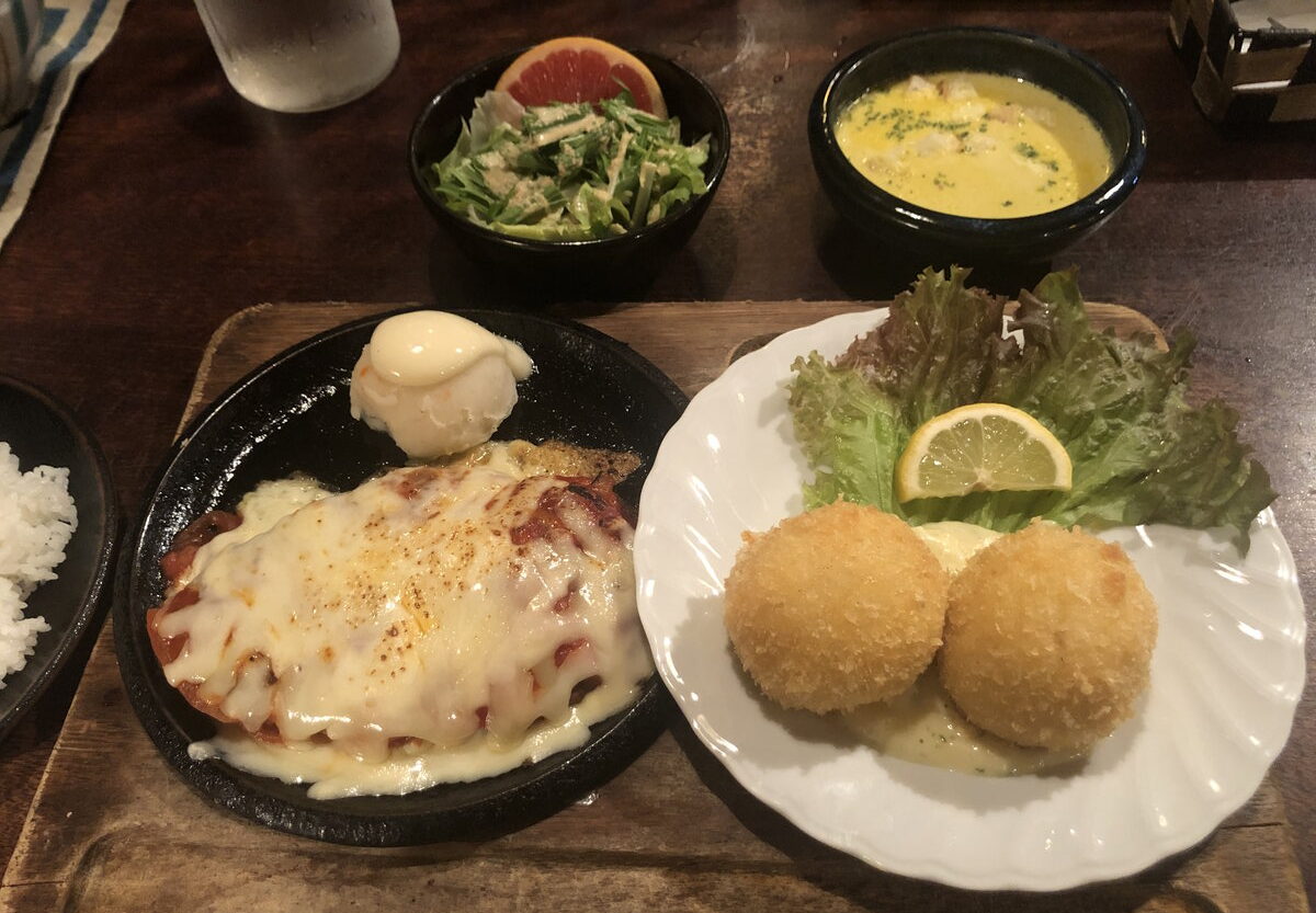
– Moriyoshi (盛よし), right by Matsumoto Station: a sizzling-hot hamburg steak and a bowl of soup are exactly what a tired body needs after a long day on the ridge — and if I’m honest, I always end up treating myself to a cream croquette on the side too.
Other Things to Do:
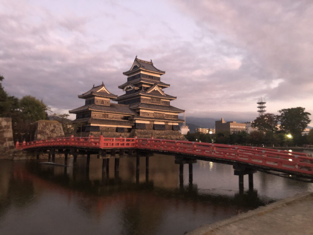
– Matsumoto Castle (松本城): one of Japan’s original wooden castles, and an easy walk from Matsumoto Station. You can see and photograph it for free from the surrounding park — most visitors just walk the moat and admire it from outside — but ¥1,300 (¥1,200 if booked online in advance) gets you into the keep itself, climbing the original wooden stairs to the top floor. Since this itinerary already routes you back through Matsumoto for dinner — or has you staying there the night before with time to spare — it’s a natural add-on whenever you’ve got energy (and daylight) left over.
Hours: 8:30–17:00, last entry 16:30
Price: ¥1,300 (¥1,200 online/advance); grounds/exterior viewing is free
Access: ~15 min walk from Matsumoto Station
Link: https://www.matsumoto-castle.jp/
Information & Disclaimer
I’ve tried to keep this page up to date, but things in the mountains can change. Weather, trail conditions, and access may be different when you visit.
This page is based on my own experience when I hiked the route. Before heading out, check the latest information and make sure the conditions are right for you.
Especially right now: the Nakabusa access road is still on provisional status and can close on short notice — see Permits & Restrictions above — and there’s been recent black bear activity right around the Ariake/Nakabusa trailhead area — see Risks & Safety above. Check both before you go.